GeoCoords:
Latitude: 31.238087000000
Longitude: -97.009586000000
Longitude: -97.009586000000
County:
- Falls
Date:
1835
Time Period:
Description:
David Ridgway is killed by Indians, probably Wacos or Tawakonis (Wichitas) halfway between Fort Milam (four miles southwest of present-day Marlin) and the Brazos Falls.
Event Type:
Race or Ethnicity:
Citation:
John Wesley Wilbarger, Indian Depredations in Texas (Austin: Steck Co., 1935), 219.
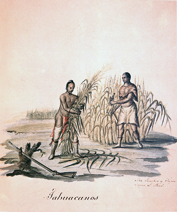 Tawakoni (Wichita) Indians
 Original Title: Tahuacanos
Image Type: Watercolor and ink on paper
Creator: Lino Sánchez y Tapia after Jean Louis Berlandier
Collection: Thomas W. Gilcrease Museum, Tulsa, Oklahoma
Image Citation:
Berlandier, Jean Louis, The Indians of Texas in 1830. Washington, D.C.: Smithsonian Press, 1969, Plate 13
GeoCoords:
Latitude: 31.238087000000
Longitude: -97.009586000000
Longitude: -97.009586000000
County:
- Falls
Date:
1835
Event Description:
David Ridgway is killed by Indians, probably Wacos or Tawakonis (Wichitas) halfway between Fort Milam (four miles southwest of present-day Marlin) and the Brazos Falls.
Event Type:
Tribe:
- Wichitas
- Wacos
- Wichitas
- Tawakonis
Gender:
male
Citation:
John Wesley Wilbarger, Indian Depredations in Texas (Austin: Steck Co., 1935), 219.
Tawakoni (Wichita) Indians Original Title: Tahuacanos
Image Type: Watercolor and ink on paper
Creator: Lino Sánchez y Tapia after Jean Louis Berlandier
Collection: Thomas W. Gilcrease Museum, Tulsa, Oklahoma
Image Citation:
Berlandier, Jean Louis, The Indians of Texas in 1830. Washington, D.C.: Smithsonian Press, 1969, Plate 13