Longitude: -96.620979000000
- Navarro
A mounted party of Kichais (Wichitas) or Wacos (Wichitas) attacks a surveying party near Richland Creek, 12 miles west of present-day Corsicana. Three surveyors are killed: Robert Sparks, Mr. Barry, and Mr. Hunter.
Stephen L. Moore, Savage Frontier: Rangers, Riflemen, and Indian Wars in Texas, 1838-1839 (Denton: University of North Texas Press, 2006), 2:7-8.
Malcolm D. McLean, comp. Papers Concerning Robertson’s Colony in Texas (Fort Worth: Texas Christian University Press, 1974), 4:419-20, 4:58-59.
Telegraph and Texas Register, April 25, 1838, May 2, 1838.
John Wesley Wilbarger, Indian Depredations in Texas (Austin: Steck Co., 1935), 360.
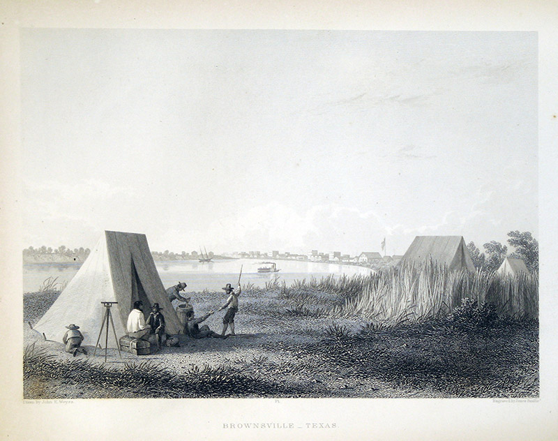 Surveyors
 Original Title: Brownsville, Texas
Image Type: Steel engraving on paper
Creator: James D. Smillie after John E. Weyss
Collection: The University of Texas at Arlington Libraries, Special Collections
Image Citation:
Emory, William H., Report of the United States Mexican Boundary Survey, Made under the Direction of the Secretary of the Interior, 34th Congress, 1st Session, House Exec. Doc. No. 135 (3 vols.; Washington, D.C.: Cornelius Wendell, 1857), vol. 1, part 1, opp. p. 60.
Longitude: -96.620979000000
- Navarro
A mounted party of Kichais (Wichitas) or Wacos (Wichitas) attacks a surveying party near Richland Creek, 12 miles west of present-day Corsicana. Three surveyors are killed: Robert Sparks, Mr. Barry, and Mr. Hunter.
- Wichitas
- Kichais
- Wichitas
- Wacos
Stephen L. Moore, Savage Frontier: Rangers, Riflemen, and Indian Wars in Texas, 1838-1839 (Denton: University of North Texas Press, 2006), 2:7-8.
Malcolm D. McLean, comp. Papers Concerning Robertson’s Colony in Texas (Fort Worth: Texas Christian University Press, 1974), 4:419-20, 4:58-59.
Telegraph and Texas Register, April 25, 1838, May 2, 1838.
John Wesley Wilbarger, Indian Depredations in Texas (Austin: Steck Co., 1935), 360.
Surveyors Original Title: Brownsville, Texas
Image Type: Steel engraving on paper
Creator: James D. Smillie after John E. Weyss
Collection: The University of Texas at Arlington Libraries, Special Collections
Image Citation:
Emory, William H., Report of the United States Mexican Boundary Survey, Made under the Direction of the Secretary of the Interior, 34th Congress, 1st Session, House Exec. Doc. No. 135 (3 vols.; Washington, D.C.: Cornelius Wendell, 1857), vol. 1, part 1, opp. p. 60.