GeoCoords:
Latitude: 32.217023000000
Longitude: -95.298843000000
Longitude: -95.298843000000
County:
- Smith
Date:
July 26, 1839
Time Period:
Description:
Timothy O’Neil is killed by Indians, probably Cherokees, near Fort Lamar, an army post about ten miles south of present-day Tyler.
Event Type:
Race or Ethnicity:
Tribe:
Citation:
Stephen L. Moore, Savage Frontier: Rangers, Riflemen, and Indian Wars in Texas, 1838-1839 (Denton: University of North Texas Press, 2006), 2:286.
“Obituary,” Telegraph and Texas Register, August 14, 1839.
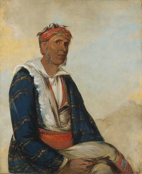 Cherokee Indian
 Original Title: Cól-lee, a Band Chief
Image Type: Oil on canvas
Creator: George Catlin, 1834-1835
Collection: Smithsonian American Art Museum, Gift of Mrs. Joseph Harrison, Jr.
Image Viewed: https://americanart.si.edu/artwork/col-lee-band-chief-4003
Image Accessed: May 29, 2019
GeoCoords:
Latitude: 32.217023000000
Longitude: -95.298843000000
Longitude: -95.298843000000
County:
- Smith
Date:
July 26, 1839
Event Description:
Timothy O’Neil is killed by Indians, probably Cherokees, near Fort Lamar, an army post about ten miles south of present-day Tyler.
Event Type:
Tribe:
- Cherokees
Gender:
male
Citation:
Stephen L. Moore, Savage Frontier: Rangers, Riflemen, and Indian Wars in Texas, 1838-1839 (Denton: University of North Texas Press, 2006), 2:286.
“Obituary,” Telegraph and Texas Register, August 14, 1839.
Cherokee Indian Original Title: Cól-lee, a Band Chief
Image Type: Oil on canvas
Creator: George Catlin, 1834-1835
Collection: Smithsonian American Art Museum, Gift of Mrs. Joseph Harrison, Jr.
Image Viewed: https://americanart.si.edu/artwork/col-lee-band-chief-4003
Image Accessed: May 29, 2019