GeoCoords:
Latitude: 30.123971000000
Longitude: -97.349115000000
Longitude: -97.349115000000
County:
- Bastrop
Date:
March, 1845
Time Period:
Description:
Three Wichitas (Wacos) are killed near Bastrop by local residents.
Event Type:
Race or Ethnicity:
Age:
adult (18+)
Citation:
Niles’ National Register, April 12, 1845
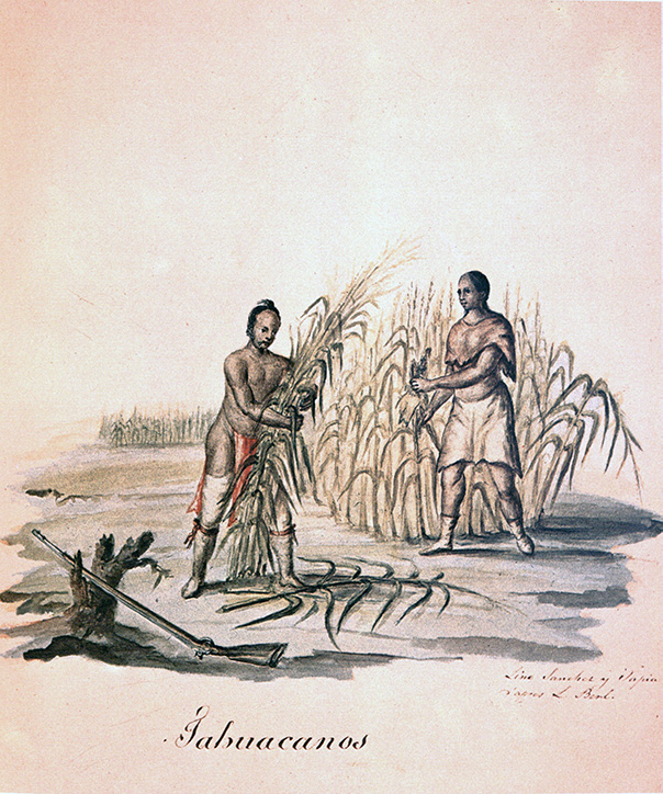 Tawakoni (Wichita) Indians
 Original Title: Tahuacanos
Image Type: Watercolor and ink on paper
Creator: Lino Sánchez y Tapia after Jean Louis Berlandier
Collection: Thomas W. Gilcrease Museum, Tulsa, Oklahoma
Image Citation:
Berlandier, Jean Louis, The Indians of Texas in 1830. Washington, D.C.: Smithsonian Press, 1969, Plate 13
GeoCoords:
Latitude: 30.123971000000
Longitude: -97.349115000000
Longitude: -97.349115000000
County:
- Bastrop
Date:
March, 1845
Event Description:
Three Wichitas (Wacos) are killed near Bastrop by local residents.
Event Type:
Tribe:
- Wichitas
- Wacos
Age:
adult (18+)
Citation:
Niles’ National Register, April 12, 1845
Tawakoni (Wichita) Indians Original Title: Tahuacanos
Image Type: Watercolor and ink on paper
Creator: Lino Sánchez y Tapia after Jean Louis Berlandier
Collection: Thomas W. Gilcrease Museum, Tulsa, Oklahoma
Image Citation:
Berlandier, Jean Louis, The Indians of Texas in 1830. Washington, D.C.: Smithsonian Press, 1969, Plate 13