Skip to main content
UTA Libraries
Digital Gallery
Browse
All Items
Categories
Collections
About
About
Acknowledgements
Contact Us
Sort by
Relevance
Relevance
Items per page
48
60
72
120
Clear
Search
Browse
All Items
Categories
Collections
About
Home
Category: Cartography - Maps and Atlases
Category: Cartography - Maps and Atlases
193-240 of 432 results found
Sort by
Year Asc
Year Asc
Year Desc
Per page:
48
60
72
120
Apply
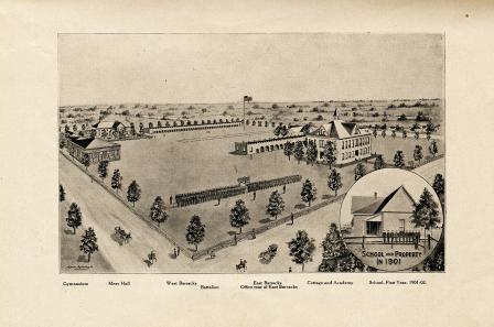
Carlisle Military Academy Tenth Annual Announcement drawing of campus in 1901
B.B. Paddock illustration of railroad lines into and out of Fort Worth
Hand-drawn map of Eagle Flat, W. K. Gordon
Hand-drawn cross-section of Eagle Mountain and valleys on each side, W. K. Gordon, July 17, 1895
Hand-drawn map of the Eagle Flat areas, W. K. Gordon, July 17, 1895
United States Geological Survey topographical map of 1890
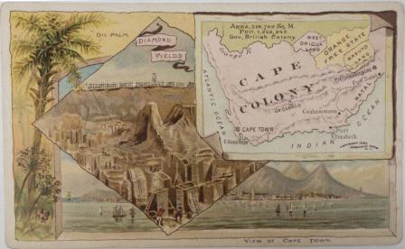
Cape Colony
Central Africa
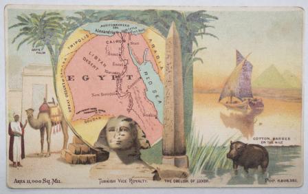
Egypt
Morocco
Map showing The Geographical location of Fort-Worth, Tex. and Rail-Roads
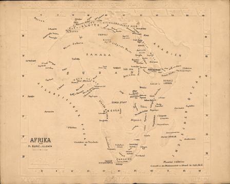
Afrika [Braille Map with annotations hand-lettered in ink]
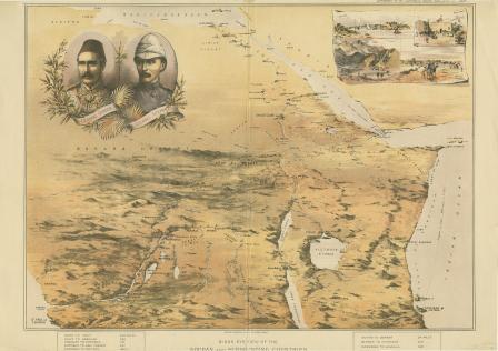
Birds eye view of the Soudan and Surrounding Countries
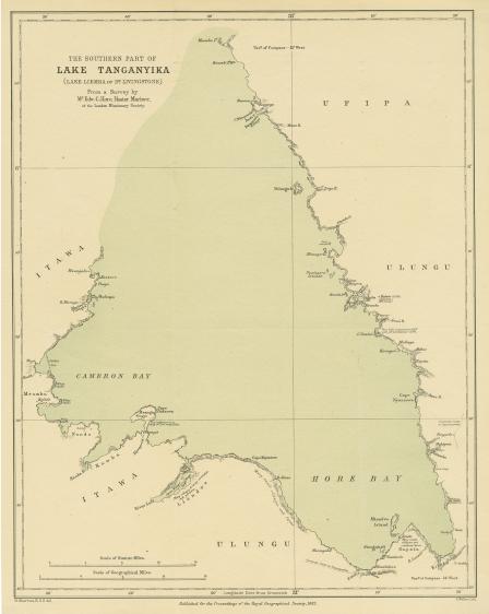
The Southern Part of Lake Tanganyika (Lake Liemba of Dr. Livingstone) From a Survey by Mr. Edw. C. Hore, Master Mariner of the London Missionary Society
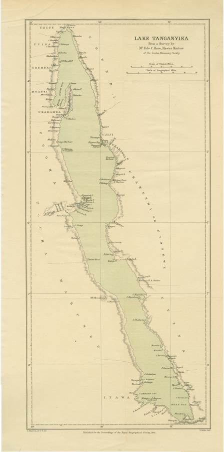
Lake Tanganyika from a Survey by Mr. Edw. C. Hore, Master Mariner of the London Missionary Society
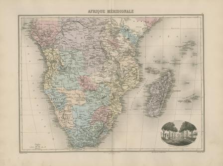
Afrique Méridionale
Septentrionale
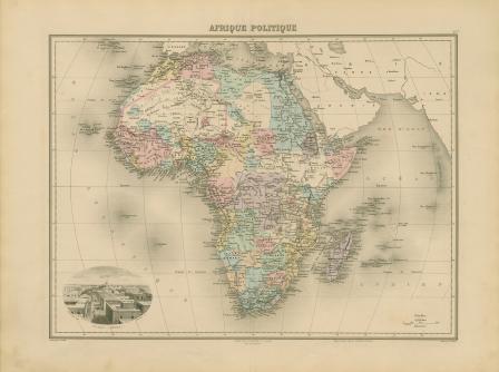
Afrique politique
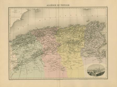
Algérie et Tunisie
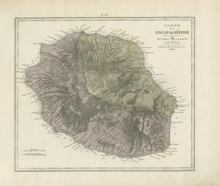
Carte de L'Ile de la Reunion
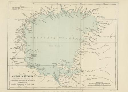
Map of the Victoria N’Yanza compiled from the original maps of Captain Speke, Colonel Grant & Mr. Stanley adapted to the recorded observations of Captain Speke by W. J. Turner
Africa, with the discoveries to May 1858 of Livingstone, Barth, Vogel, & of the Chadda Expedition from Documents in possession of the Royal Geographical Society
Carte Physique et Politique de L'Afrique
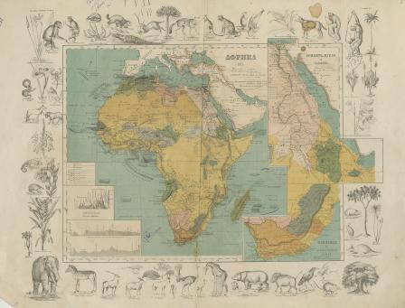
Afrika [Russian]
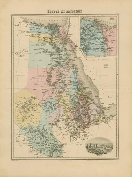
Égypte et Abyssinie
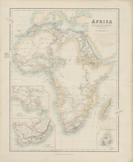
Africa
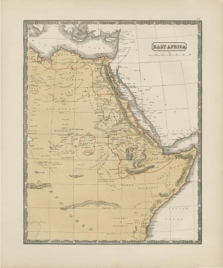
East Africa
West Africa
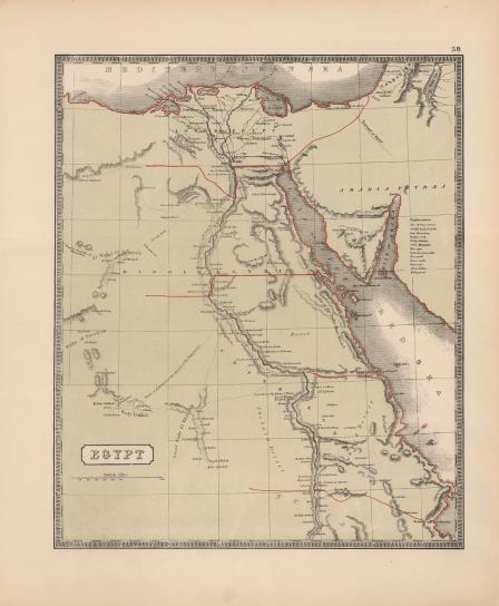
Egypt
Afrique Francaise
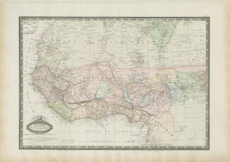
Afrique Occidentale et Centrale, le Sahara, le. Takrour, la Senegambie, l'Ouankarah, et les lies du Cap Vert
L'afrique suivant les connaissances géographiques actuelles
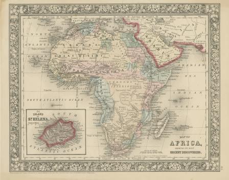
Map of Africa Showing its most Recent Discoveries
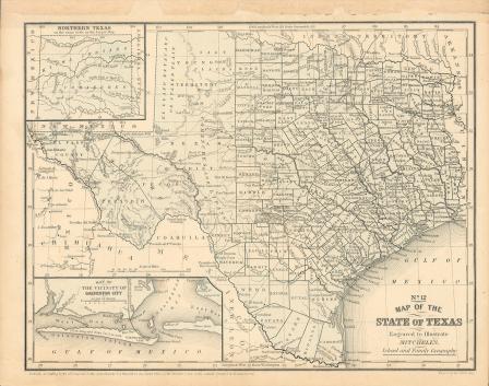
Map of Texas, 1859
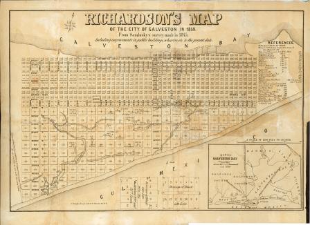
Richardson's Map of the City of Galveston in 1859
Map of Texas, 1858
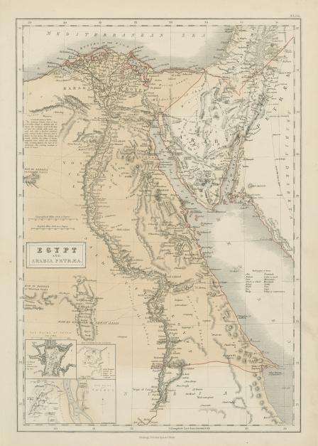
Egypt and Arabia Petraea
Africa
Map of Texas, 1858 (black and white)
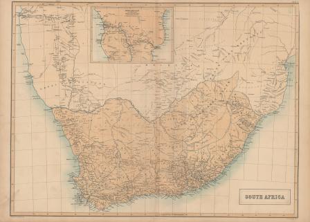
South Africa
U. S. Coast Survey, A. D. Bache, Superintendent, Sketch
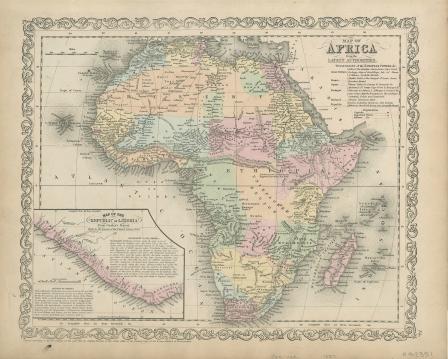
Map of Africa from the Latest Authorities
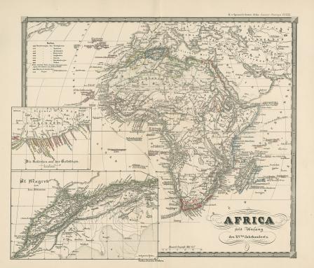
Africa seit Anfang des XVten Jahrhundert's
Argelia y Provincias Berberiscas
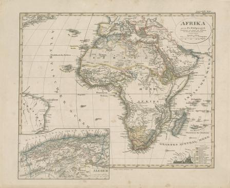
Afrika. von F. v. Stulpnagel
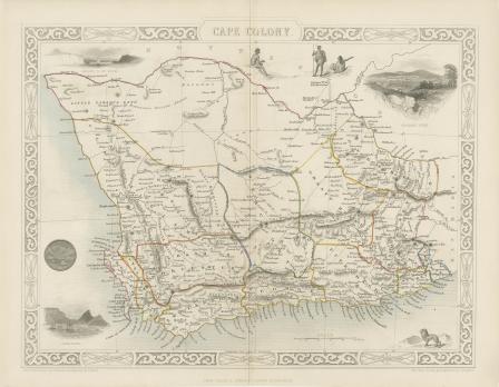
Cape Colony
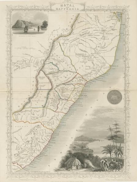
Natal and Kaffraria
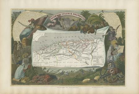
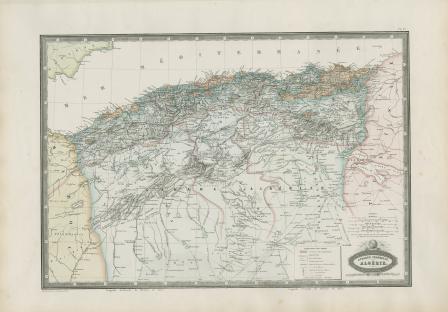
Algérie. Colonie Française.
‹ previous
…
3
4
5
6
7
…
next ›


![West Africa [map of Africa]](https://library.uta.edu/digitalgallery/sites/library.uta.edu.digitalgallery/files/styles/maxthumbnail/public/20080000-20089999/20086373.jpg?itok=7gcGhoDl)
![L'afrique suivant les connaissances géographiques actuelles [map of Africa]](https://library.uta.edu/digitalgallery/sites/library.uta.edu.digitalgallery/files/styles/maxthumbnail/public/20080000-20089999/20086434.jpg?itok=gIKeF47y)


![Africa [map of Africa]](https://library.uta.edu/digitalgallery/sites/library.uta.edu.digitalgallery/files/styles/maxthumbnail/public/20080000-20089999/20086267.jpg?itok=dgdYad5m)