Skip to main content
UTA Libraries
Digital Gallery
Browse
All Items
Categories
Collections
About
About
Acknowledgements
Contact Us
Sort by
Relevance
Relevance
Items per page
48
60
72
120
Clear
Search
Browse
All Items
Categories
Collections
About
Home
Coverage:
1710s
Coverage:
1710s
1-11 of 11 results found
Sort by
Title Asc
Year Asc
Title Asc
Title Desc
Year Asc
Year Desc
Per page:
48
60
72
120
Apply
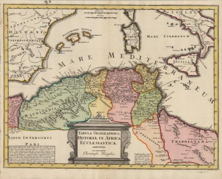
Tabula Geographica Historiae in Africa Ecclesiasticae
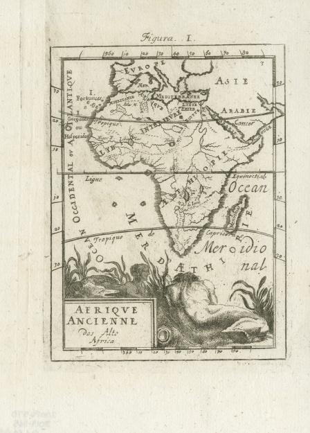
Afrique Ancienne
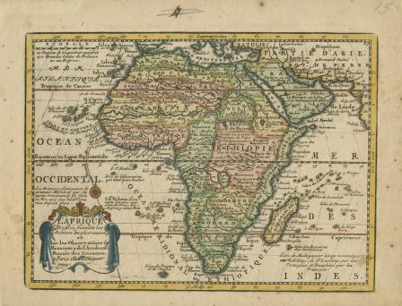
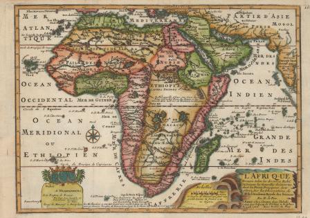
L'Afrique Dressee suivant les Auteurs les plu nouveau...1719
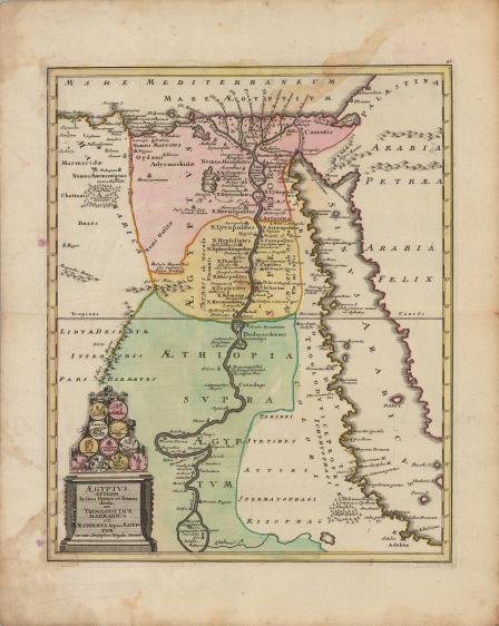
Aegyptus, antiqua in suas partes et nomos divisa, cum Troglodytice, Marmarica et Aethiopia supra Aegyptum curante Christophoro Weigelio. Norimb
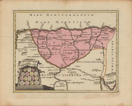
Aegyptus, inferior sive delta, curante Christophoro Weigelio. cum P. S. C. M.
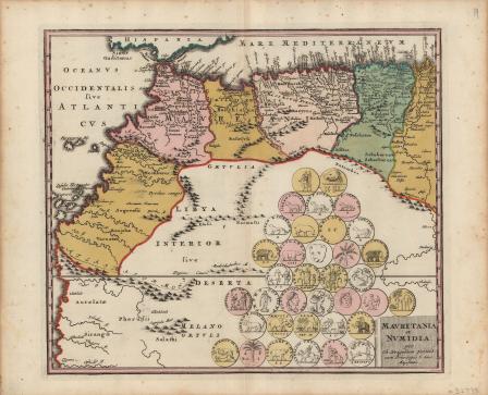
Mauretania et Numidia
L'Afrique Dressee Selon les dernieres Relat...1717
A Map of the East Indies and the adjacent countries; with the Settlements, Factories and Territories, explaining what belongs to England, Spain, France, Holland, Denmark, Portugal &c.
World map by cartographer Johann Baptist Homann, 1712
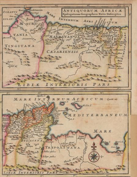
Antiquorum Africæ
Mappa Geographica Exhibens Religionem Catholicam Alicubi Per Africam Sparsam