Skip to main content
UTA Libraries
Digital Gallery
Browse
All Items
Categories
Collections
About
About
Acknowledgements
Contact Us
Sort by
Relevance
Relevance
Items per page
48
60
72
120
Clear
Search
Browse
All Items
Categories
Collections
About
Home
1840s
Texas, State and Local
Category: Cartography - Maps and Atlases
Category: Cartography - Maps and Atlases
1-4 of 4 results found
(-)
Remove 1840s Coverage filter
1840s Coverage
(-)
Remove Texas, State and Local Category filter
Texas, State and Local Category
Sort by
Year Asc
Year Asc
Year Desc
Per page:
48
60
72
120
Apply
Karte des Staates Texas (aufgenommen in die Union 1846) nach der neuesten Eintheilung 1849
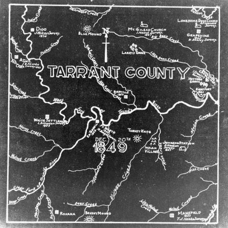
Tarrant County survey map
Map of the Battle of Palo Alto, 1846
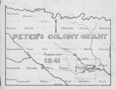
Peter's Colony Grant map, 1841, showing Texas counties