Skip to main content
UTA Libraries
Digital Gallery
Browse
All Items
Categories
Collections
About
About
Acknowledgements
Contact Us
Sort by
Relevance
Relevance
Items per page
48
60
72
120
Clear
Search
Browse
All Items
Categories
Collections
About
Home
Africa
1760s
Category: Cartography - Maps and Atlases
Category: Cartography - Maps and Atlases
1-8 of 8 results found
(-)
Remove Africa Location filter
Africa Location
(-)
Remove 1760s Coverage filter
1760s Coverage
Sort by
Year Asc
Year Asc
Year Desc
Per page:
48
60
72
120
Apply
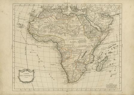
Carte de L'Afrique
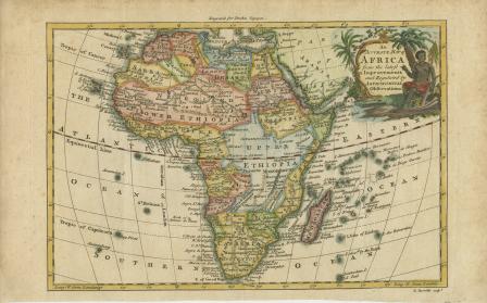
An Accurate Map of AFRICA from the latest Improvements and Regulated by Astronomical Observations
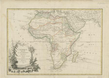
Afrique divisee En Ses Principaux Etats
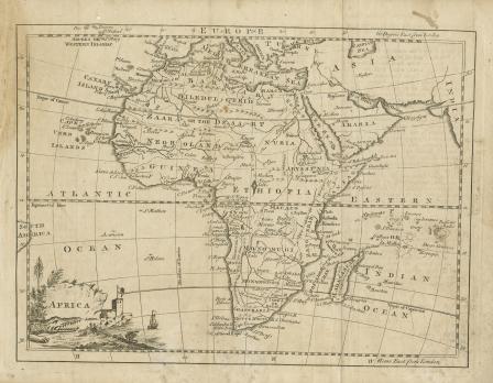
Africa
Kaart van Afrika Door von Heer D'Anville...1763
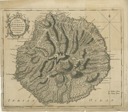
A Map of the Isle of Bourbon Formerly Mascarenhas, Belonging to the French East India Company
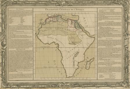
Description Générale de l'Afrique
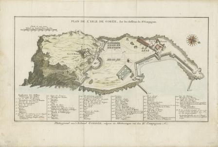
Plan de l' Isle de Gorée, sur les desseins du Sr. Compagnon