Skip to main content
UTA Libraries
Digital Gallery
Browse
All Items
Categories
Collections
About
About
Acknowledgements
Contact Us
Sort by
Relevance
Relevance
Items per page
48
60
72
120
Clear
Search
Browse
All Items
Categories
Collections
About
Home
European colonies
Africa
Category: Cartography - Maps and Atlases
Category: Cartography - Maps and Atlases
1-14 of 14 results found
(-)
Remove European colonies Subject Term filter
European colonies Subject Term
(-)
Remove Africa Subject Term filter
Africa Subject Term
Sort by
Year Asc
Year Asc
Year Desc
Per page:
48
60
72
120
Apply
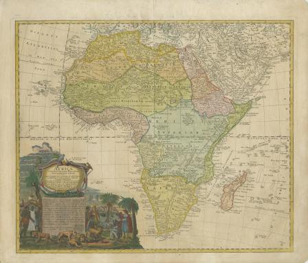
Africa
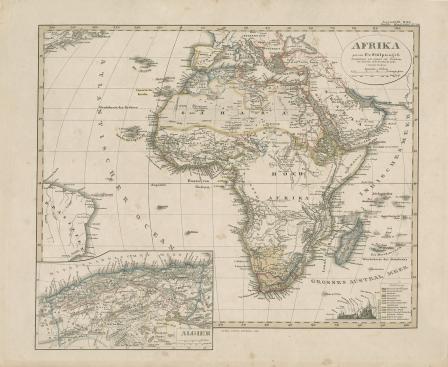
Afrika. von F. v. Stulpnagel
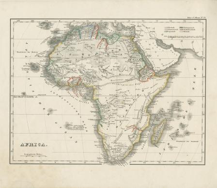
Africa
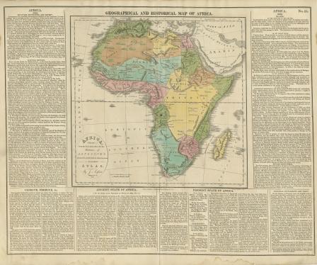
GEOGRAPHICAL AND HISTORICAL MAP OF AFRICA
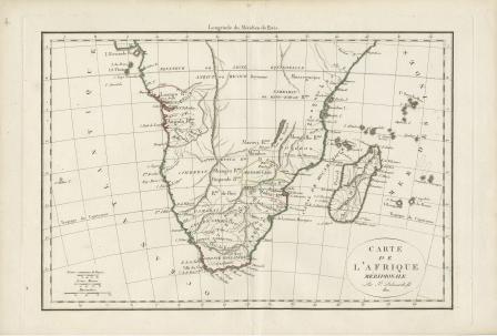
Carte de L’Afrique Meridionale
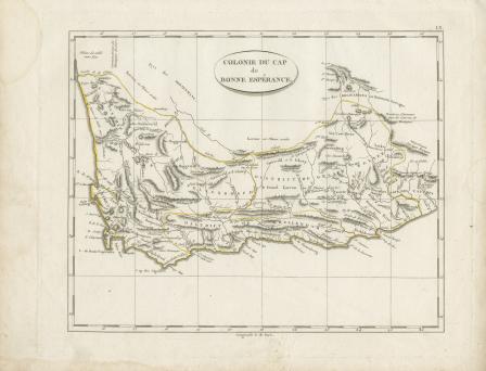
Colonie du cap de Bonne Esperance
Congo, Cafrerie
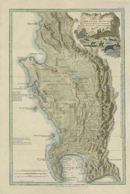
Das Vorgebirg der Guten Hofnung
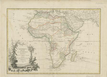
Afrique divisee En Ses Principaux Etats
Kaart van Afrika Door von Heer D'Anville...1763
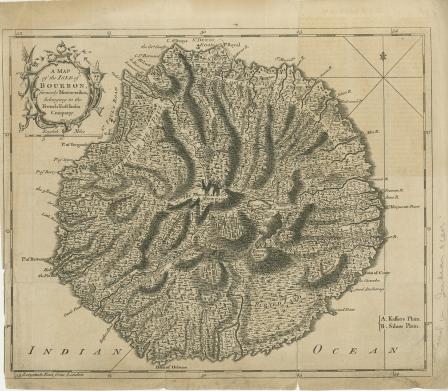
A Map of the Isle of Bourbon Formerly Mascarenhas, Belonging to the French East India Company
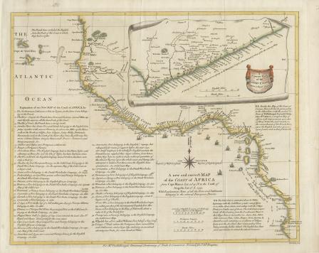
A New and Correct Map of the Coast of Africa from Cape Blance to the Coast of Angola with Explanatory Notes of all the Forts and settlements belonging to the several European Powers
Plan de l’Isle de Goré
Africa Secundum Legitimas Projectionis Stereographicae regulas et juxta recentissimas relationes et observationes in subsidium vocatis quoque veterum Leonis Africanius