Skip to main content
UTA Libraries
Digital Gallery
Browse
All Items
Categories
Collections
About
About
Acknowledgements
Contact Us
Sort by
Relevance
Relevance
Items per page
48
60
72
120
Clear
Search
Browse
All Items
Categories
Collections
About
Home
Waterways
Coastal regions
Category: Cartography - Maps and Atlases
Category: Cartography - Maps and Atlases
1-9 of 9 results found
(-)
Remove Waterways Subject Term filter
Waterways Subject Term
(-)
Remove Coastal regions Subject Term filter
Coastal regions Subject Term
Sort by
Year Asc
Year Asc
Year Desc
Per page:
48
60
72
120
Apply
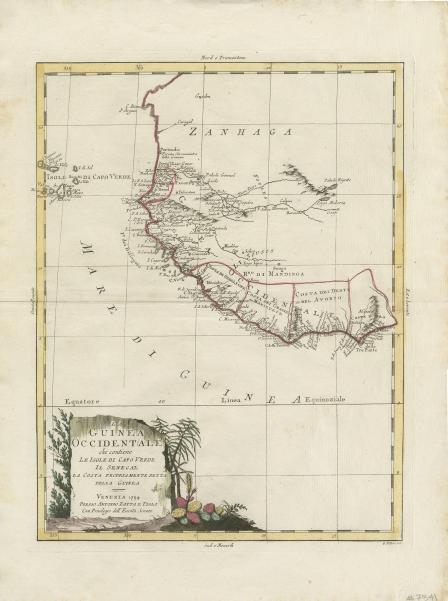
La Guinea Occidentale che contiene Le Isole Di Capo Verde Il Senegal La Costa Propriamente Dlla Guinea… 1794
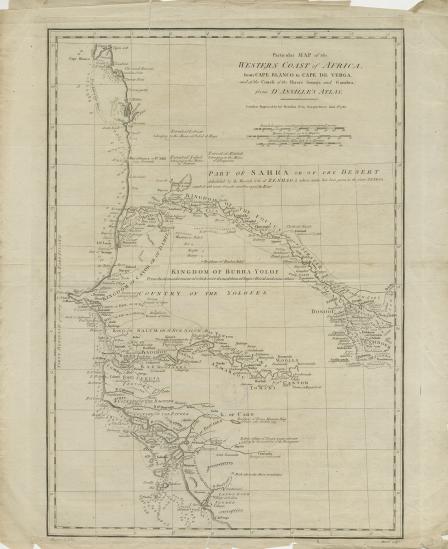
Particular map of the western coast of Africa: from Cape Blanco to Cape de Verga, and of the course of the Rivers Senega and Gambia, from d'Anville's atlas
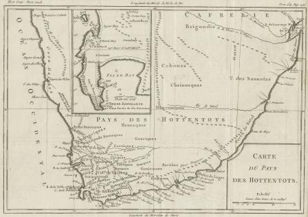
Carte du Pays des Hottentots
Le Pays des Hottentots aux Environs du Cap de Bonne Esperance
Africa Propria
A New & Correct Map of Negroland and Guinea, by G. Rollos Geogr
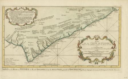
Suite de la Coste de Guinée
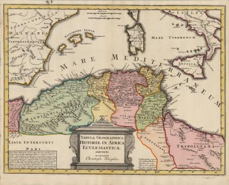
Tabula Geographica Historiae in Africa Ecclesiasticae
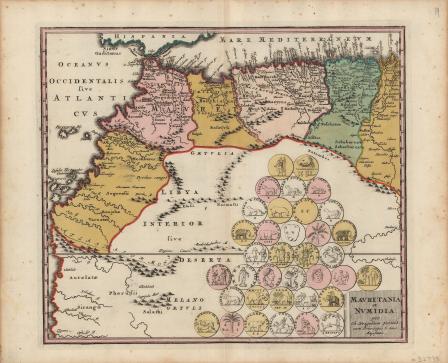
Mauretania et Numidia