Skip to main content
UTA Libraries
Digital Gallery
Browse
All Items
Categories
Collections
About
About
Acknowledgements
Contact Us
Sort by
Relevance
Relevance
Items per page
48
60
72
120
Clear
Search
Browse
All Items
Categories
Collections
About
Home
1880s
Category: Cartography - Maps and Atlases
Category: Cartography - Maps and Atlases
1-13 of 13 results found
(-)
Remove 1880s Coverage filter
1880s Coverage
Sort by
Year Asc
Year Asc
Year Desc
Per page:
48
60
72
120
Apply
Morocco
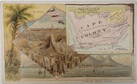
Cape Colony
Central Africa
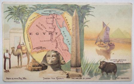
Egypt
Map showing The Geographical location of Fort-Worth, Tex. and Rail-Roads
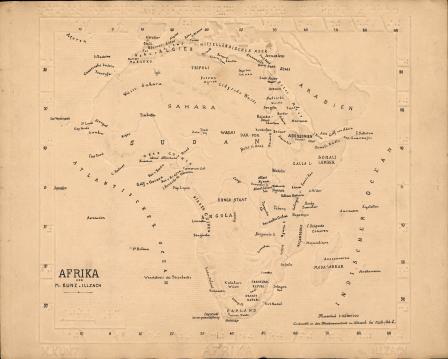
Afrika [Braille Map with annotations hand-lettered in ink]
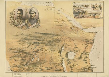
Birds eye view of the Soudan and Surrounding Countries
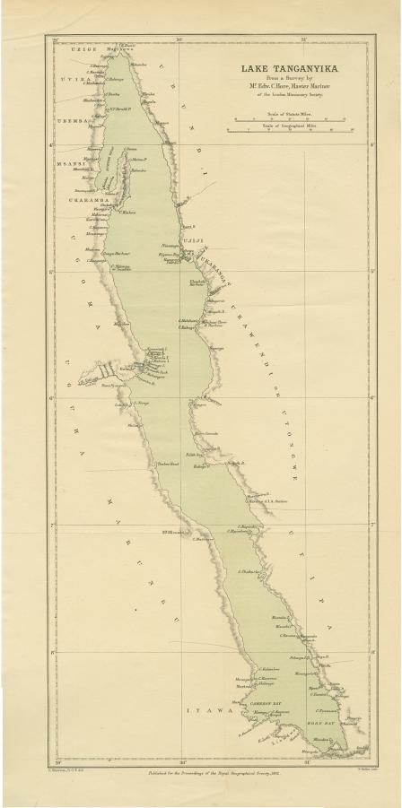
Lake Tanganyika from a Survey by Mr. Edw. C. Hore, Master Mariner of the London Missionary Society
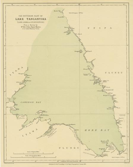
The Southern Part of Lake Tanganyika (Lake Liemba of Dr. Livingstone) From a Survey by Mr. Edw. C. Hore, Master Mariner of the London Missionary Society
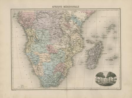
Afrique Méridionale
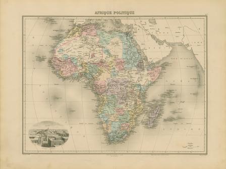
Afrique politique
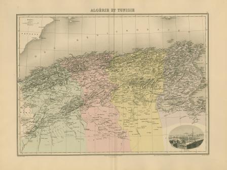
Algérie et Tunisie
Septentrionale