Skip to main content
UTA Libraries
Digital Gallery
Browse
All Items
Categories
Collections
About
About
Acknowledgements
Contact Us
Sort by
Relevance
Relevance
Items per page
48
60
72
120
Clear
Search
Browse
All Items
Categories
Collections
About
Home
1890s
Category: Cartography - Maps and Atlases
Category: Cartography - Maps and Atlases
1-5 of 5 results found
(-)
Remove 1890s Coverage filter
1890s Coverage
Sort by
Year Asc
Year Asc
Year Desc
Per page:
48
60
72
120
Apply
Hand-drawn map of Eagle Flat, W. K. Gordon
Hand-drawn cross-section of Eagle Mountain and valleys on each side, W. K. Gordon, July 17, 1895
Hand-drawn map of the Eagle Flat areas, W. K. Gordon, July 17, 1895
United States Geological Survey topographical map of 1890
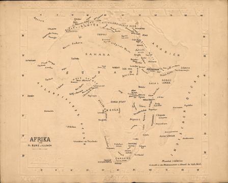
Afrika [Braille Map with annotations hand-lettered in ink]