Skip to main content
UTA Libraries
Digital Gallery
Browse
All Items
Categories
Collections
About
About
Acknowledgements
Contact Us
Sort by
Relevance
Relevance
Items per page
48
60
72
120
Clear
Search
Browse
All Items
Categories
Collections
About
Home
Illustrations
Category: Cartography - Maps and Atlases
Category: Cartography - Maps and Atlases
1-12 of 12 results found
(-)
Remove Illustrations Subject Term filter
Illustrations Subject Term
Sort by
Year Asc
Year Asc
Year Desc
Per page:
48
60
72
120
Apply
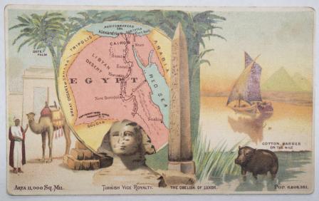
Egypt
Morocco
Central Africa
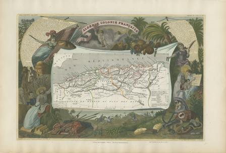
Algérie. Colonie Française.
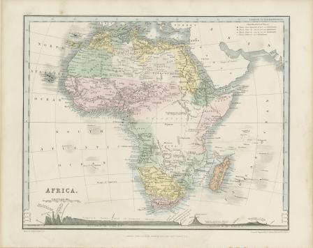
Africa
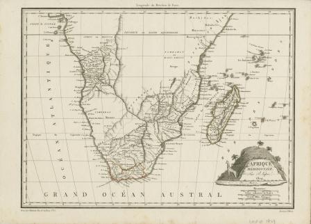
Afrique Meridionale
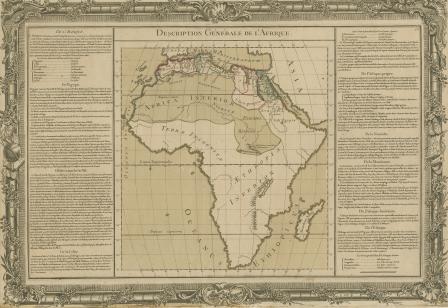
Description Générale de l'Afrique
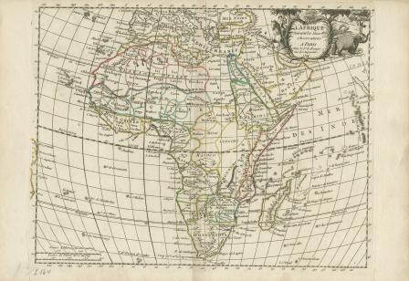
L’ Afrique Suivant les Nouvelles Observations
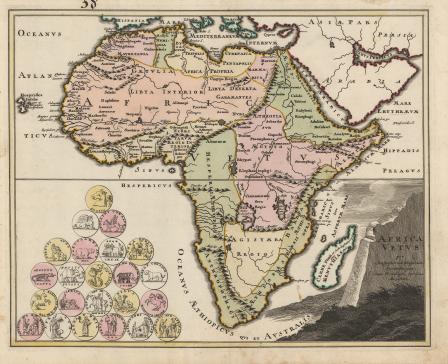
Africa vetus per Christophorum Weigelium Norimbergae cum privilegia sac. caes. Majestatis
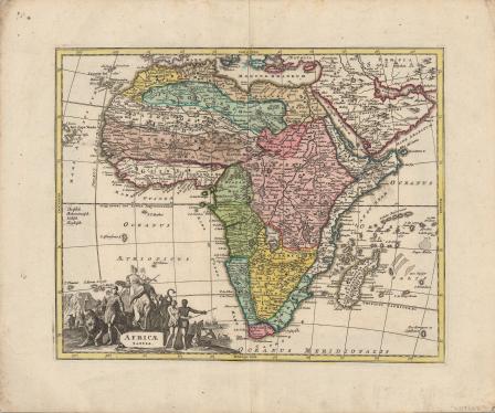
Africa Tabula
Mappa Geographica Exhibens Religionem Catholicam Alicubi Per Africam Sparsam
Aegyptus