Skip to main content
UTA Libraries
Digital Gallery
Browse
All Items
Categories
Collections
About
About
Acknowledgements
Contact Us
Sort by
Relevance
Relevance
Items per page
48
60
72
120
Clear
Search
Browse
All Items
Categories
Collections
About
Home
Madagascar
Category: Cartography - Maps and Atlases
Category: Cartography - Maps and Atlases
1-19 of 19 results found
(-)
Remove Madagascar Subject Term filter
Madagascar Subject Term
Sort by
Year Asc
Year Asc
Year Desc
Per page:
48
60
72
120
Apply
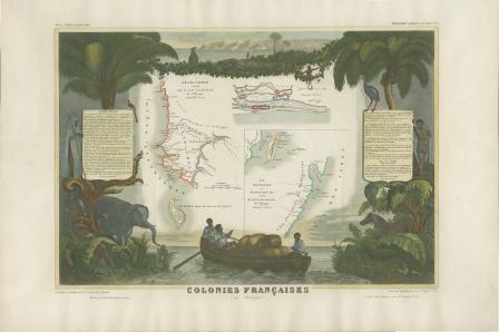
Colonies Françaises (en Afrique)
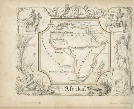
Afrika
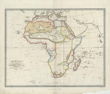
Africa
Africa for the Elucification of the Abbe Gaultier's Geographical Games
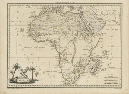
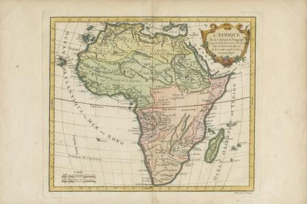
Afrique
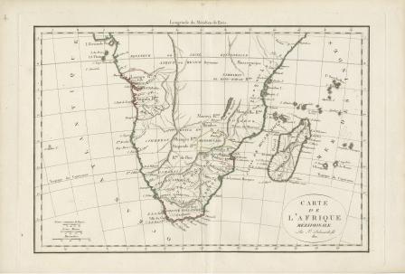
Carte de L’Afrique Meridionale
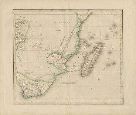
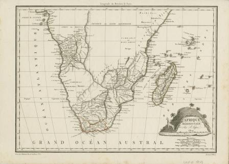
Afrique Meridionale
L'Afrique par Robert de Vaugondy revue et corrigé par C.F. Delamarche son successor
Afrique
Congo, Cafrerie
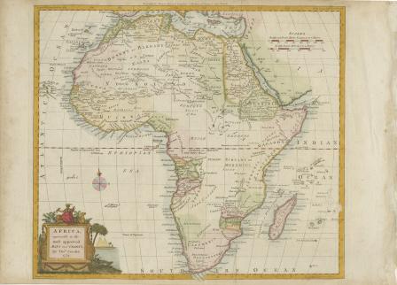
Africa Agreeable to the Most Approved Maps
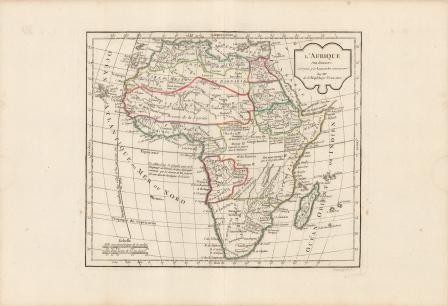
L’Afrique
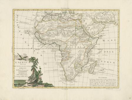
L'Africa divisa Ne' Suoi Principali Stati Di Nuova Projezione...1776
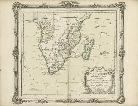
Partie De L'Afrique audela de l'Equateur, Comprenant Le Congo, La Cafrerie & c.
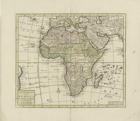
Nieuwe Kaart van Africa
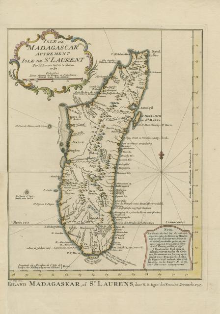
Isle de Madagascar Autrement Isle de St. Laurent
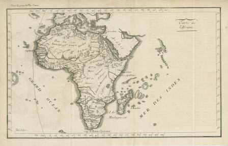
Carte De L’Africa
'T Eilandt van Madagascar of van St. Laurens.
S. Lorenzo


![S. Lorenzo [map of Africa - Madagascar]](https://library.uta.edu/digitalgallery/sites/library.uta.edu.digitalgallery/files/styles/maxthumbnail/public/20080000-20089999/20086405a.jpg?itok=sR49GFRv)