Skip to main content
UTA Libraries
Digital Gallery
Browse
All Items
Categories
Collections
About
About
Acknowledgements
Contact Us
Sort by
Relevance
Relevance
Items per page
48
60
72
120
Clear
Search
Browse
All Items
Categories
Collections
About
Home
Tribes
Category: Cartography - Maps and Atlases
Category: Cartography - Maps and Atlases
1-14 of 14 results found
(-)
Remove Tribes Subject Term filter
Tribes Subject Term
Sort by
Year Asc
Year Asc
Year Desc
Per page:
48
60
72
120
Apply
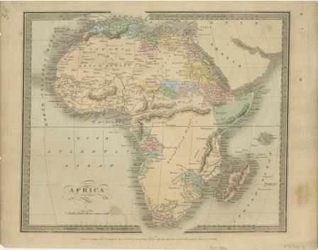
Africa
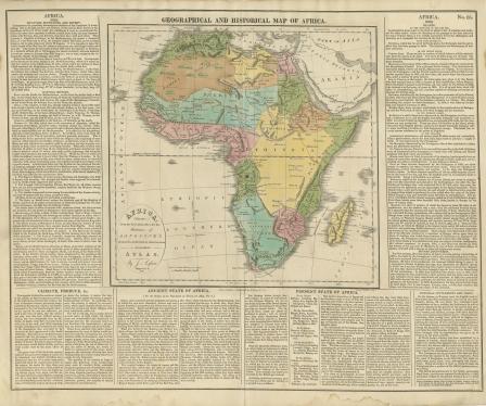
GEOGRAPHICAL AND HISTORICAL MAP OF AFRICA
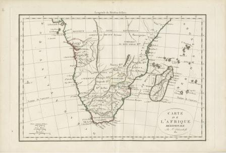
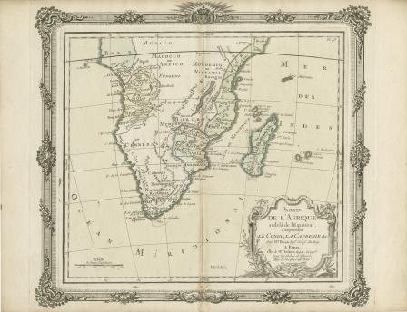
Carte de L’Afrique Meridionale
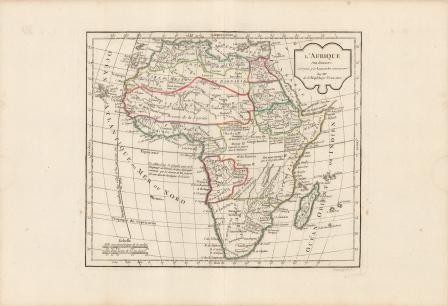
L'Afrique par Robert de Vaugondy revue et corrigé par C.F. Delamarche son successor
Congo, Cafrerie
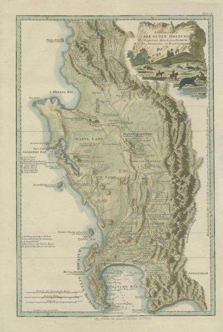
Das Vorgebirg der Guten Hofnung
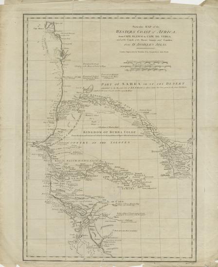
Particular map of the western coast of Africa: from Cape Blanco to Cape de Verga, and of the course of the Rivers Senega and Gambia, from d'Anville's atlas
L'Afrique Dreßée pour l’étude de la Géographie
Carte du Canal de Mosambique contenant l'isle de Madagascar avec les cotes d'Afrique depuis le Cap de Bonne Esperance jusqu'a Melinde
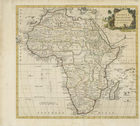
Africa Drawn from the Latest Authorities
Le Pays des Hottentots aux Environs du Cap de Bonne Esperance
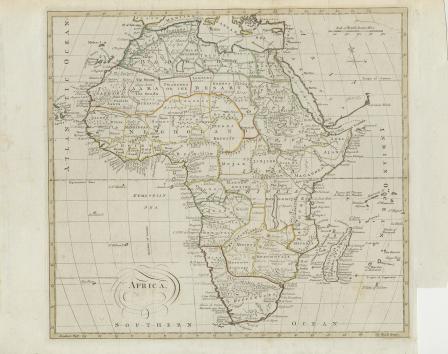
Africa
Partie De L'Afrique audela de l'Equateur, Comprenant Le Congo, La Cafrerie & c.
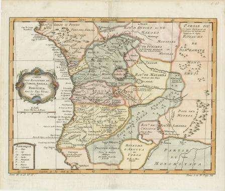
Carte des Royaumes de Congo, Angola et Benguela avec les pays Voisins, Tire de l'Anglois