Skip to main content
UTA Libraries
Digital Gallery
Browse
All Items
Categories
Collections
About
About
Acknowledgements
Contact Us
Sort by
Relevance
Relevance
Items per page
48
60
72
120
Clear
Search
Browse
All Items
Categories
Collections
About
Home
Cartography - Maps and Atlases
Texas, State and Local
Coverage:
1940s
Coverage:
1940s
1-15 of 15 results found
(-)
Remove Cartography - Maps and Atlases Category filter
Cartography - Maps and Atlases Category
(-)
Remove Texas, State and Local Category filter
Texas, State and Local Category
Sort by
Title Asc
Year Asc
Title Asc
Title Desc
Year Asc
Year Desc
Per page:
48
60
72
120
Apply
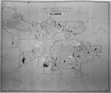
Map of Fort Worth, Texas (Residential)
Map of Fort Worth, Texas (Commercial)
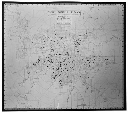
Map of Fort Worth, Texas
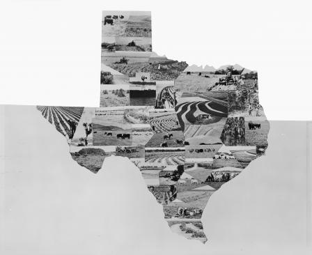
Soil erosion map of Texas
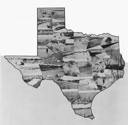
Soil erosion map of Texas
Plans of the Highway Department: Fred J. Wemple, Jr. and T. C. Jones
Fort Worth Pilot Wind Up World Air Lines Survey
National Housing Administration
Texas State Highway Map Viewing
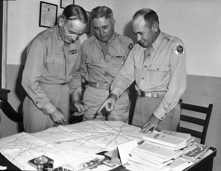
Water-Way officials and backers of the Trinity River program
Water-Way officials and backers of Trinity River program
Texas State Guard
Captain Andy Price, Private V. R. Gardner and Corporal Joe Fletcher Prepare for Armistice Day
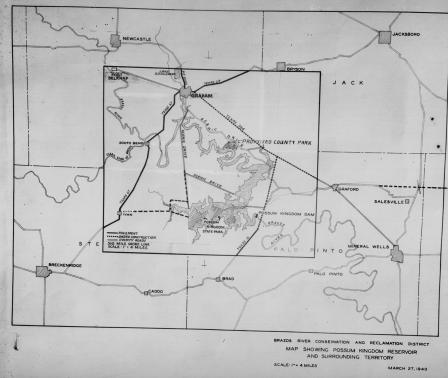
"Map showing Possum Kingdom Reservoir and surrounding territory"
Map showing Possum Kingdom Reservoir and surrounding area including Breckenridge, Texas, 03/27/1940