Skip to main content
UTA Libraries
Digital Gallery
Browse
All Items
Categories
Collections
About
About
Acknowledgements
Contact Us
Sort by
Relevance
Relevance
Items per page
48
60
72
120
Clear
Search
Browse
All Items
Categories
Collections
About
Home
Virginia Garrett Cartographic History Library
Category: United States
Category: United States
1-9 of 9 results found
(-)
Remove Virginia Garrett Cartographic History Library Collection filter
Virginia Garrett Cartographic History Library Collection
Sort by
Year Asc
Year Asc
Year Desc
Per page:
48
60
72
120
Apply
United States Geological Survey topographical map of 1890
U. S. Coast Survey, A. D. Bache, Superintendent, Sketch
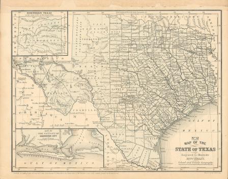
Map of Texas, 1858
Map of Texas, 1858 (black and white)
"Karte des Staates Texas"
Karte des Staates Texas (aufgenommen in die Union 1846) nach der neuesten Eintheilung 1849
Map of the Battle of Palo Alto, 1846
"Les Costes aux Environs de la Riviere de Misisipi"
"La Riviere de Missisipi,"