Skip to main content
UTA Libraries
Digital Gallery
Browse
All Items
Categories
Collections
About
About
Acknowledgements
Contact Us
Sort by
Relevance
Relevance
Items per page
48
60
72
120
Clear
Search
Browse
All Items
Categories
Collections
About
Home
Cartography - Maps and Atlases
Maps
Category: Cities and Towns
Category: Cities and Towns
1-26 of 26 results found
(-)
Remove Cartography - Maps and Atlases Category filter
Cartography - Maps and Atlases Category
(-)
Remove Maps Subject Term filter
Maps Subject Term
Sort by
Year Desc
Year Asc
Year Desc
Per page:
48
60
72
120
Apply
City map of Dallas, Texas
Wallisville Reservoir sign [undated]
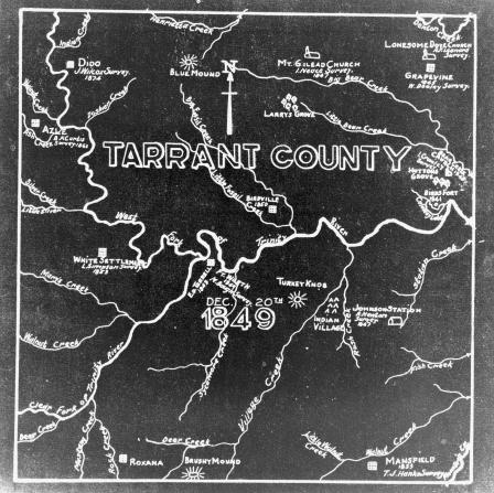
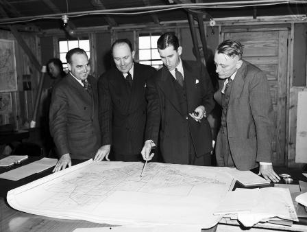
Tarrant County survey map
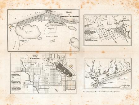
Map of the cities of Indianola, New Braunfels and Fredericksburg, Texas, ca. 1850
Map of the cities of New Braunfels and Fredericksburg
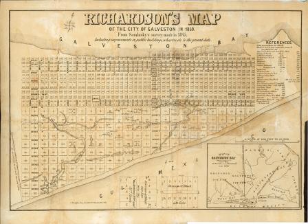
Richardson's Map of the City of Galveston in 1859
Map showing The Geographical location of Fort-Worth, Tex. and Rail-Roads
United States Geological Survey topographical map of 1890
B.B. Paddock illustration of railroad lines into and out of Fort Worth
M. E. Sebree, 80 years old of Olney, Illinois
Texas State Teachers' Association convention, 1940
West Texas Chamber of Commerce convention
Hockley County Boys visit Livestock Exchange Building
United States pursuit ships at Municipal airport
Camp Wolters, Texas
Jackie Reid and Cecil Coombs
Texas State Parks Board
United Service Organization Activities
Soldiers at United Services Organization (U. S. O.)
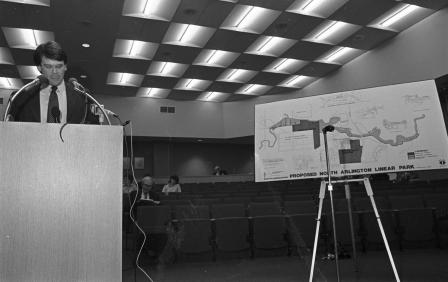
Fort Worth Expressway Project
Fort Worth Army Air Field
Henry Flak and Larry Hanks with book
Dr. Sidney Stout, Mike L. Crimmins, and Brown Tomme
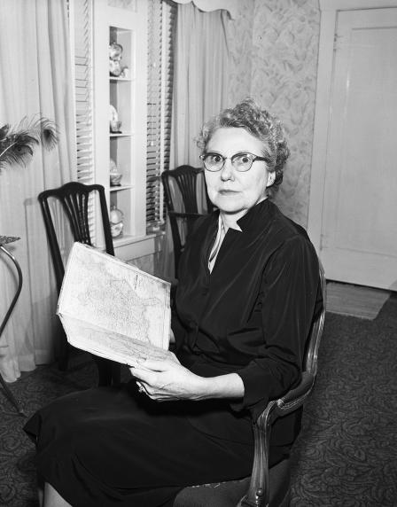
Pre-Civil War Atlas
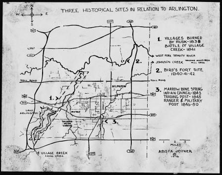
Map: Three Historical Sites in Relation to Arlington, 1976
Bill Snyder with proposed River Legacy Park plan