Skip to main content
UTA Libraries
Digital Gallery
Browse
All Items
Categories
Collections
About
About
Acknowledgements
Contact Us
Sort by
Relevance
Relevance
Items per page
48
60
72
120
Clear
Search
Browse
All Items
Categories
Collections
About
Home
Aerial photographs
1950s
Category: Cities and Towns
Category: Cities and Towns
1-48 of 75 results found
(-)
Remove Aerial photographs Subject Term filter
Aerial photographs Subject Term
(-)
Remove 1950s Coverage filter
1950s Coverage
Sort by
Year Asc
Year Asc
Year Desc
Per page:
48
60
72
120
Apply
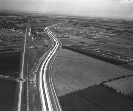
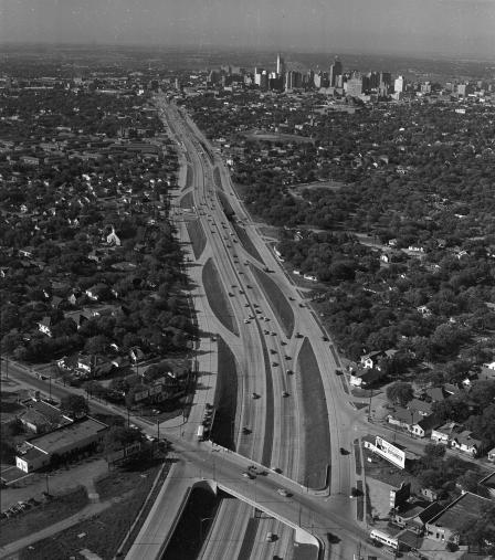
Aerial view of east-west expressway
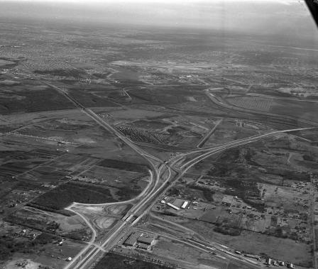
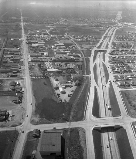
Highway 183 cloverleaf and surrounding area at Hinton's Lodge
Subdivision and freeway
Subdivisions and freeway
Fort Worth Skyline
The Meadows building and Mockingbird Lane
An expressway west through Oak Cliff, Dallas, Texas
Skyline view of downtown Fort Worth showing Continental National Bank with clock revolving on roof
An airview of expressway from McKinney to Allen, Texas
Central Expressway, south leg, Martin Luther King Boulevard
Tornado damage to Dearborn store
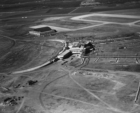
An aerial of airport runways at Amon Carter Field
Aerial view of the Milner Hotel, 911 Main Street, downtown Fort Worth, Texas
Skyline view of downtown Dallas, Texas
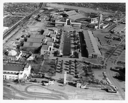
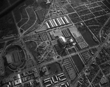
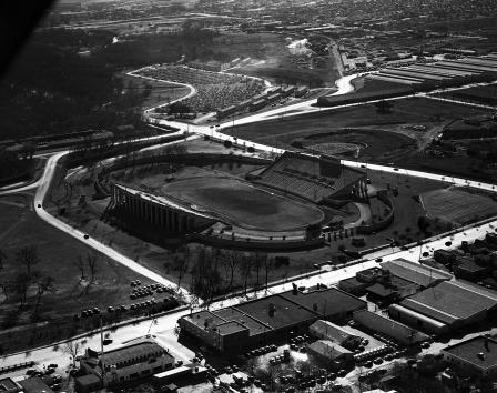
Fair Park, Dallas, Texas
Aerial view, Dallas, Texas
Aerial view of South Central Expressway, Dallas, Texas
Dallas, Texas skyline, Victory Park area
An airview of highway with field to the right - Central and Arapaho, Richardson, Texas
White Rock Lake, Dallas, Texas
Air view of Eastern Star Home in Arlington
Central Expressway and Lover's Lane, Dallas, Texas
An aerial of race track at Arlington Downs
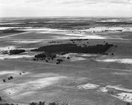
Martin County
Highway 183 and Loop 12 to southwest
An aerial view of I-45 and Fourth Ward in Houston, and construction of Buffalo Bayou bridge
Aerial view of Trinity River channel work of new East 4th Street Bridge
Aerial views of Fort Worth Children's Museum and Fort Worth Art Museum
Expressway construction
Central and Lover's Lane, Dallas, Texas
Central Expressway, Dallas, Texas
Dallas, Texas skyline, Victory Park area
Aerial view of Fort Worth City, 1953
Air view of Fort Worth City
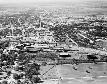
Aerial view of downtown Brownwood business section
Skyline view of the industrial area looking north toward downtown Dallas, Texas
A portion of recreational and camping facilities at Lake Brownwood.
Central Expressway, Dallas, Texas
Fort Worth aerial view
Fort Worth aerial view
Aerial view of Lena Pope home property
Air view of proposed site of Marine Aircraft Corporation Factory
Fort Worth aerial views
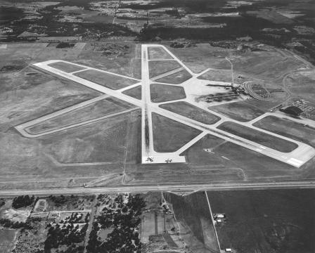
Greater Fort Worth International Airport, air view
Fort Worth aerial views
Greater Fort Worth International Airport, air view
Fort Worth aerial views
Fort Worth aerial view
1
2
next ›