Skip to main content
UTA Libraries
Digital Gallery
Browse
All Items
Categories
Collections
About
About
Acknowledgements
Contact Us
Sort by
Relevance
Relevance
Items per page
48
60
72
120
Clear
Search
Browse
All Items
Categories
Collections
About
Home
Aerial photographs
Category: Cities and Towns
Category: Cities and Towns
1-48 of 244 results found
(-)
Remove Aerial photographs Subject Term filter
Aerial photographs Subject Term
Sort by
Year Asc
Year Asc
Year Desc
Per page:
48
60
72
120
Apply
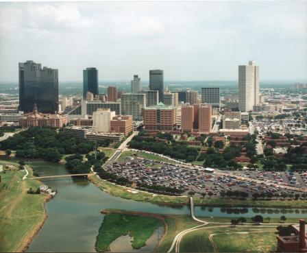
Fort Worth, Texas skyline
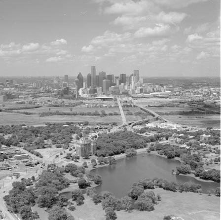
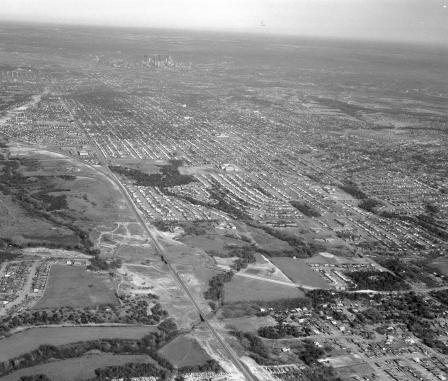
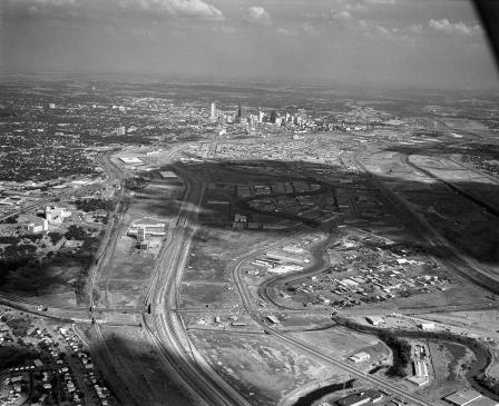
Aerial of Lake Cliff looking towards Downtown Dallas
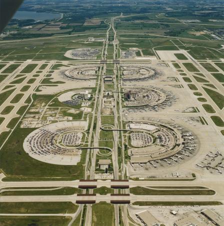
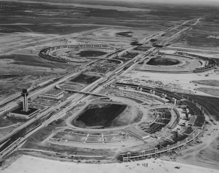
DFW Airport aerial photo
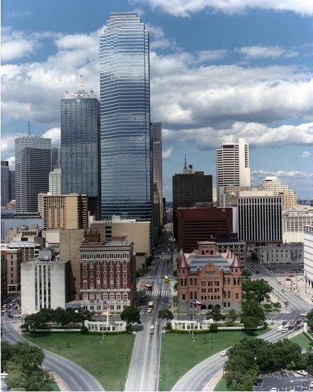
Skyline view of downtown from Dealey Plaza, looking east down Main Street, Dallas, Texas
I-30 overhead left in place to handle traffic during construction
I-30 construction looking west from University Center
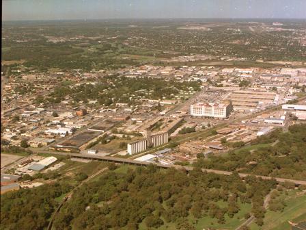
Fort Worth, Texas aerial looking west showing Trinity River, 7th St., Montgomery Ward building
Aerial of downtown Fort Worth, Texas
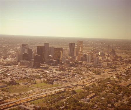
The Dallas skyline
Damage from the Red River Valley tornado outbreak
Looking east on Airport Freeway with Highway 121 construction
Damage from the Red River Valley tornado outbreak
An aerial view of construction of Fort Worth Water Gardens
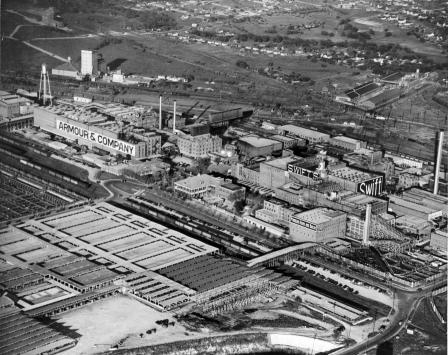
An aerial of Armour & Company and stockyards
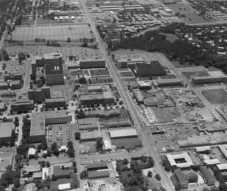
Aerial of U. T. A. campus looking north up Cooper Street
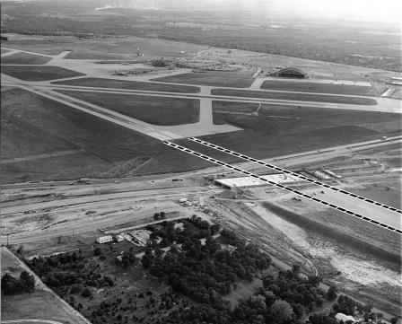
DFW Regional Airport construction
Construction of the Water Gardens, Fort Worth, Texas
An airview of University of Texas at Arlington (U. T. A.) looking south
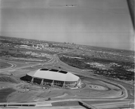
Aerial of newly built Texas Stadium, home of Dallas Cowboys, Irving, Texas, 1971
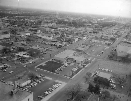
Abram and Center streets, Arlington, Texas
Inwood and LBJ freeway, Dallas, Texas
Inwood and LBJ freeway, Dallas, Texas
Park Row and Highway 360, Arlington, Texas
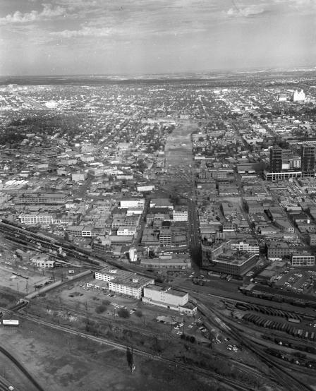
Aerial of downtown Fort Worth, Texas
Aerial of cleared land for Woodall Rodgers freeway, Dallas, Texas
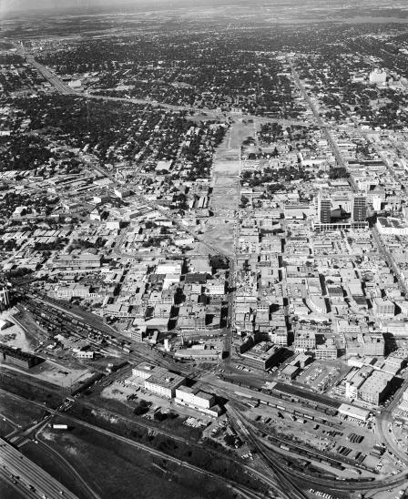
Aerial Photograph of Fort Worth, Texas
Aerial of cleared land for Woodall Rodgers freeway, Dallas, Texas
Aerial of future location of a parking garage for the Continental National Bank, downtown Fort Worth, Texas
Midway Road and Highway 635, 1965
Northwest Highway and Shady Brook, Dallas, Texas
An aerial of Field Circle, Dallas, Texas
Aerial of Zang Blvd., Beckley Ave., and West Jefferson looking north toward downtown Dallas, 1964
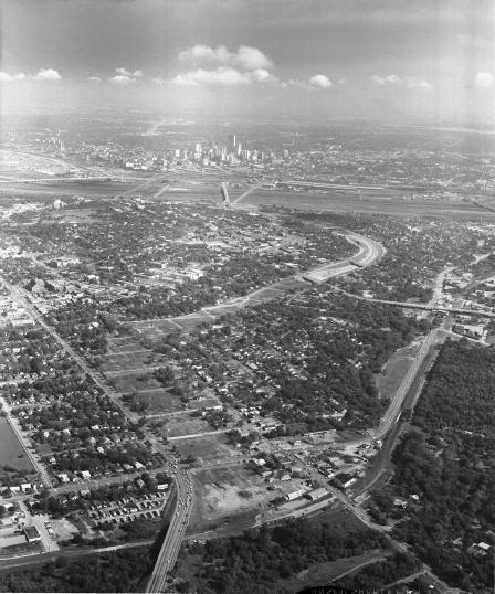
Aerial view, Oak Cliff, Dallas, Texas
Aerial view, Dallas, Texas
Dealey Plaza, Dallas, Texas 2 days following assassination of President John F. Kennedy
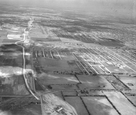
Aerial of Greater Southwest International Airport and Highway 183
Aerial view of Six Flags Over Texas at Arlington during construction phase
An aerial of crowd waiting to hear John F. Kennedy speak
Highway 77 at Ledbetter, Dallas, Texas
Aerial of downtown Dallas, Texas looking toward northeast from southwest
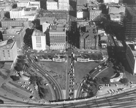
Dealey Plaza and triple underpass, Dallas, Texas
Aerial view, Dallas, Texas
Aerial view, Dallas, Texas
Aerial of downtown Arlington
Dallas skyline looking south-east toward Cotton Bowl,
Highway 67 at So. Polk St., Dallas, Texas
Aerial view, Dallas, Texas
The Thornton freeway, Beckley and Marsallis area, Dallas, Texas
1
2
3
4
5
next ›