Longitude: -99.741259000000
- Real
A group of fourteen traders and surveyors led by Capt. Love is attacked by Comanches on the Rio Frio, 75 miles west of San Antonio. The entire party is killed.
George W. Bonnell, Topographical Description of Texas. To which is added an Account of the Indian Tribes (Austin: Clark, Wing, & Brown, 1840), 133.
Mirabeau Buonaparte Lamar, The Papers of Mirabeau Buonaparte Lamar, Charles Adam Gulick, et al., ed. (A.C. Baldwin, Printers, 1924), 4/1:230.
Rena Maverick Green, Samuel Maverick, Texan: 1803-1870; A Collection of Letters, Journals, and Memoirs (San Antonio: 1952), 73.
Telegraph and Texas Register, July 7, 1838.
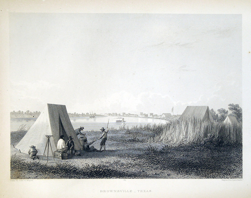 Surveyors
 Original Title: Brownsville, Texas
Image Type: Steel engraving on paper
Creator: James D. Smillie after John E. Weyss
Collection: The University of Texas at Arlington Libraries, Special Collections
Image Citation:
Emory, William H., Report of the United States Mexican Boundary Survey, Made under the Direction of the Secretary of the Interior, 34th Congress, 1st Session, House Exec. Doc. No. 135 (3 vols.; Washington, D.C.: Cornelius Wendell, 1857), vol. 1, part 1, opp. p. 60.
Longitude: -99.741259000000
- Real
A group of fourteen traders and surveyors led by Capt. Love is attacked by Comanches on the Rio Frio, 75 miles west of San Antonio. The entire party is killed.
- Comanches
George W. Bonnell, Topographical Description of Texas. To which is added an Account of the Indian Tribes (Austin: Clark, Wing, & Brown, 1840), 133.
Mirabeau Buonaparte Lamar, The Papers of Mirabeau Buonaparte Lamar, Charles Adam Gulick, et al., ed. (A.C. Baldwin, Printers, 1924), 4/1:230.
Rena Maverick Green, Samuel Maverick, Texan: 1803-1870; A Collection of Letters, Journals, and Memoirs (San Antonio: 1952), 73.
Telegraph and Texas Register, July 7, 1838.
Surveyors Original Title: Brownsville, Texas
Image Type: Steel engraving on paper
Creator: James D. Smillie after John E. Weyss
Collection: The University of Texas at Arlington Libraries, Special Collections
Image Citation:
Emory, William H., Report of the United States Mexican Boundary Survey, Made under the Direction of the Secretary of the Interior, 34th Congress, 1st Session, House Exec. Doc. No. 135 (3 vols.; Washington, D.C.: Cornelius Wendell, 1857), vol. 1, part 1, opp. p. 60.