GeoCoords:
Latitude: 30.635736000000
Longitude: -96.579952000000
Longitude: -96.579952000000
County:
- Burleson
Date:
1827
Time Period:
Description:
Comanche raiding party on the Brazos River attacked by Colonel James J. Ross and settlers, killing all but two (approximately 4.6 miles from Cooks Point in Burleson County).
Event Type:
Race or Ethnicity:
Tribe:
Citation:
J. W. Wilbarger, Indian Depredations in Texas (Austin: Steck Co., 1935), 205-06.
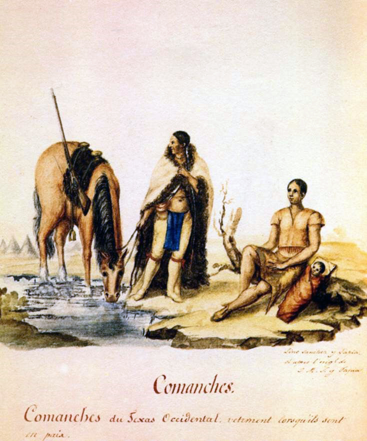 Comanche Indians
 Original Title: Comanches. Comanches du Texas Occidentauetement lorsqúils son ten paix
Image Type: Watercolor and ink on paper
Creator: Lino Sánchez y Tapia after José María Sánchez y Tapia
Collection: Thomas W. Gilcrease Museum, Tulsa, Oklahoma
Image Citation:
Berlandier, Jean Louis, The Indians of Texas in 1830. Washington, D.C.: Smithsonian Press, 1969, Plate 2
GeoCoords:
Latitude: 30.635736000000
Longitude: -96.579952000000
Longitude: -96.579952000000
County:
- Burleson
Date:
1827
Event Description:
Comanche raiding party on the Brazos River attacked by Colonel James J. Ross and settlers, killing all but two (approximately 4.6 miles from Cooks Point in Burleson County).
Event Type:
Tribe:
- Comanches
Gender:
male
Citation:
J. W. Wilbarger, Indian Depredations in Texas (Austin: Steck Co., 1935), 205-06.
Comanche Indians Original Title: Comanches. Comanches du Texas Occidentauetement lorsqúils son ten paix
Image Type: Watercolor and ink on paper
Creator: Lino Sánchez y Tapia after José María Sánchez y Tapia
Collection: Thomas W. Gilcrease Museum, Tulsa, Oklahoma
Image Citation:
Berlandier, Jean Louis, The Indians of Texas in 1830. Washington, D.C.: Smithsonian Press, 1969, Plate 2