GeoCoords:
Latitude: 30.226969000000
Longitude: -97.694990000000
Longitude: -97.694990000000
County:
- Travis
Date:
January 2, 1843
Time Period:
Description:
A party of Comanches attacks the Austin farm of Nolan Luckett, killing Luckett’s son and a slave boy. Another slave is captured.
Event Type:
Tribe:
Citation:
Clarksville Northern Standard, March 2, 1843.
Charles A. Gulick, ed. The Papers of Mirabeau Buonaparte Lamar (Austin: A.C. Baldwin, 1921), 4/1:236-37.
Lorna Geer Sheppard, ed., An Editor’s View of Early Texas (Austin: Eakin Press, 1998), 60-61.
J. W. Wilbarger, Indian Depredations in Texas, (Austin: Steck Co., 1935), 142-143.
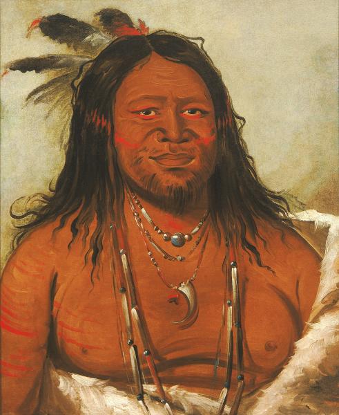 Comanche Indian
 Original Title: Ta-wáh-que-nah, Mountain of Rocks, Second Chief of the Tribe (Comanche)
Image Type: Oil on canvas
Creator: George Catlin, 1834
Collection: Smithsonian American Art Museum, Gift of Mrs. Joseph Harrison, Jr.
Image Viewed: https://americanart.si.edu/artwork/ta-wah-que-nah-mountain-rocks-second-chief-tribe-4278
Image Accessed: April 9, 2019
GeoCoords:
Latitude: 30.226969000000
Longitude: -97.694990000000
Longitude: -97.694990000000
County:
- Travis
Date:
January 2, 1843
Event Description:
A party of Comanches attacks the Austin farm of Nolan Luckett, killing Luckett’s son and a slave boy. Another slave is captured.
Event Type:
Tribe:
- Comanches
Gender:
male
Citation:
Clarksville Northern Standard, March 2, 1843.
Charles A. Gulick, ed. The Papers of Mirabeau Buonaparte Lamar (Austin: A.C. Baldwin, 1921), 4/1:236-37.
Lorna Geer Sheppard, ed., An Editor’s View of Early Texas (Austin: Eakin Press, 1998), 60-61.
J. W. Wilbarger, Indian Depredations in Texas, (Austin: Steck Co., 1935), 142-143.
Comanche Indian Original Title: Ta-wáh-que-nah, Mountain of Rocks, Second Chief of the Tribe (Comanche)
Image Type: Oil on canvas
Creator: George Catlin, 1834
Collection: Smithsonian American Art Museum, Gift of Mrs. Joseph Harrison, Jr.
Image Viewed: https://americanart.si.edu/artwork/ta-wah-que-nah-mountain-rocks-second-chief-tribe-4278
Image Accessed: April 9, 2019