Skip to main content
UTA Libraries
Digital Gallery
Browse
All Items
Categories
Collections
About
About
Acknowledgements
Contact Us
Sort by
Relevance
Relevance
Items per page
48
60
72
120
Clear
Search
Browse
All Items
Categories
Collections
About
Home
Browse
Cartography - Maps and Atlases
All Items
All Items
1-48 of 432 results found
(-)
Remove Cartography - Maps and Atlases Category filter
Cartography - Maps and Atlases Category
Per page:
48
60
72
120
Apply
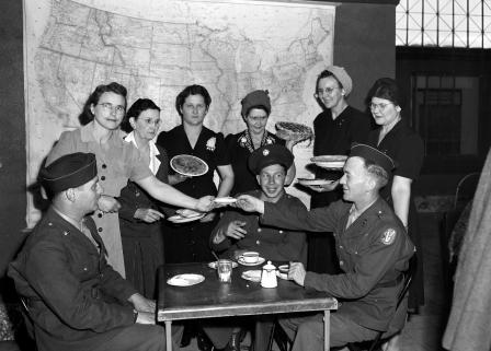
United Service Organizations lounge at Santa Fe Station
Lake Worth Bomber Plant
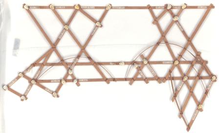
Marshall Islands Stick Chart
Carte Generale des Partes de l'Europe, dans laquelle on a touve toutes les Routes, et marque toutes les Places ou la Poste est etablie
Australia, from Surveys Made by Order of the British Government Combined with Those of D'entrecasteaux, Baudin, Freycinet &c.&c.
Map of Hindoostan
U. S. Commodore Matthew Perry's Arrival in Japan, July 8th, 1853
A Map of the East Indies and the adjacent countries; with the Settlements, Factories and Territories, explaining what belongs to England, Spain, France, Holland, Denmark, Portugal &c.
Miss Bettye Padon
Ierusalem [Jerusalem]
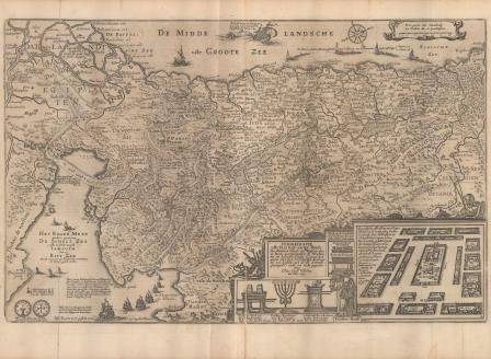
Peregrinatie ofte Veertich-iarige Reyse, Der Kinderen Israels uyt Egipten, door de Roode-zee
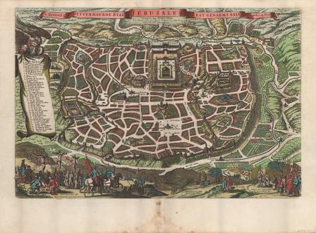
De Heylige en Wytvermaerde Stadt Ierusalem Eerst Genaemt Salem Genesis 14, Vers 18. [The Holy and World-famous City of Jerusalem, first called Salem, in Genesis 14, verse 18]
Tabula Geographica, in qua Israelitarum, ab Aegypto ad Kenahanoeam usque profectiones omnes, et stations describuntur
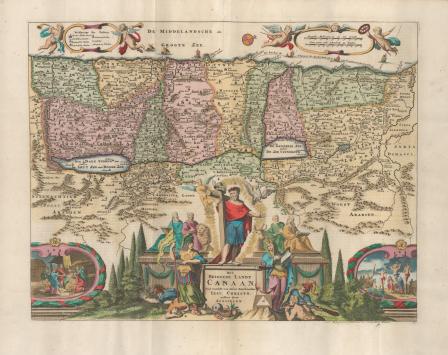
Pieter van den Keere, Het Beloofde Landt Canaan, door wandelt van onsen Salichmaecker Jesu Christo, nessens syne Apostelen
Geographische beschryvinge van t’Beloofde-Landt Canaan, doorwandelt van onsen Heere ende Salichmaecher Jesu Christo neffens sijne Apostelen
Tabula Geographica in qua Omnes Regiones Urbes Oppida, et Loca describuntur, quorum mentio fit in Actis et Epistolis Apostolorum, et Apocalypsi de integro multis in locis emendate, ac regionum limitibus distincta
Tabula Geographica, in qua Paradisus, nec non Regiones, Urbes oppida, et loca describuntur; quorum in Genesi mentio fit
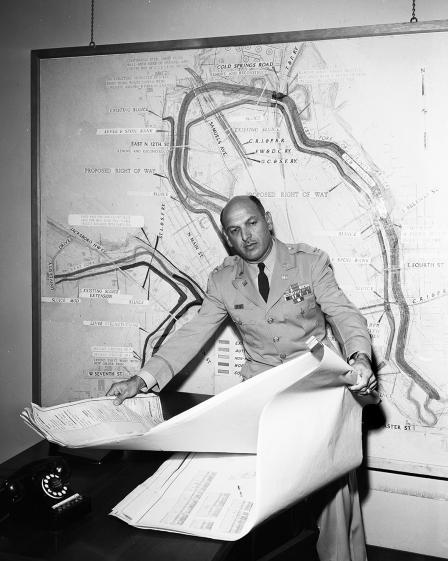
Col. Harry O. Fischer studying flood control and water conservation plans
Lake Jacksboro
Bird's-eye view plan of Alexandria
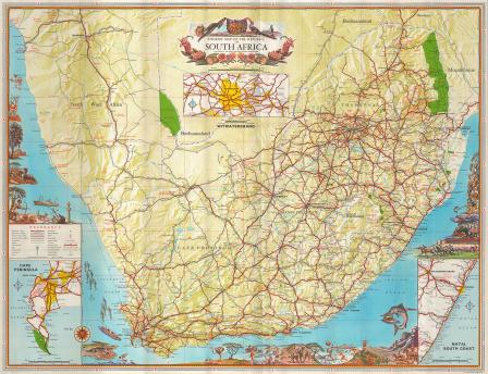
Tourist Map of the Republic of South Africa
Mrs. Agusta Small, Mrs. Arden Coley, and Mrs. Orville B. Paty
Mrs. T. P. Cates, Sammy, Johnny, Douglas, Linda, and Barbra
Mrs. J. Edwin McKee, Miss Lida Hayes, Gene McKee, Jerry Mckee, and Jay McKee.
Return to Texas
Mr. and Mrs. Howard Brown with R. W. Crook
Camp Wolters, Texas
Map of Durango, Mexico
"Brazos Boat Song" Sheet Music
Dance Pilots Check the Weather
Charles Markwick, and Karl E. Ponath shown in Amon Carter's office
Dr. and Mrs. Frank C. Laubach
Gayle Roberts, and Mrs. Glen Grant, shown working on flag
Moslah Temple Shriners
Major Morris S. Denman, Walter Maser, and Miss Elsie Lewis
Mrs. Freeman Alexander
Trail Blazer
Japanese "Girl's Festival"
Mrs. Carl O. Hagman and Mrs. Carl M. Hagman
Fort Worth Children's Museum
Patients at Polio Hospital at Gonzales
Christian Church Ministers
Mrs. W. Roberts Mayberry
Five German Attorneys
Braniff International Airways Uniform Style Review
Pre-Civil War Atlas
Paul Whiteman
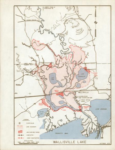
Wallisville Lake map, October 1970
1
2
3
4
5
…
next ›