Skip to main content
UTA Libraries
Digital Gallery
Browse
All Items
Categories
Collections
About
About
Acknowledgements
Contact Us
Sort by
Relevance
Relevance
Items per page
48
60
72
120
Clear
Search
Browse
All Items
Categories
Collections
About
Home
Browse
Texas, State and Local
Cartography - Maps and Atlases
All Items
All Items
1-45 of 45 results found
(-)
Remove Texas, State and Local Category filter
Texas, State and Local Category
(-)
Remove Cartography - Maps and Atlases Category filter
Cartography - Maps and Atlases Category
Per page:
48
60
72
120
Apply
"Brazos Boat Song" Sheet Music
Map of the Battle of Palo Alto, 1846
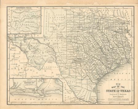
Map of Texas, 1859
Map of Texas, 1858
Map of Texas, 1858 (black and white)
Captain Andy Price, Private V. R. Gardner and Corporal Joe Fletcher Prepare for Armistice Day
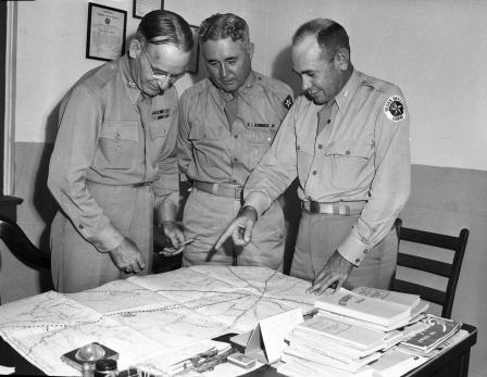
Texas State Guard
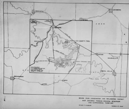
"Map showing Possum Kingdom Reservoir and surrounding territory"
Map showing Possum Kingdom Reservoir and surrounding area including Breckenridge, Texas, 03/27/1940
Hand-drawn cross-section of Eagle Mountain and valleys on each side, W. K. Gordon, July 17, 1895
Hand-drawn map of the Eagle Flat areas, W. K. Gordon, July 17, 1895
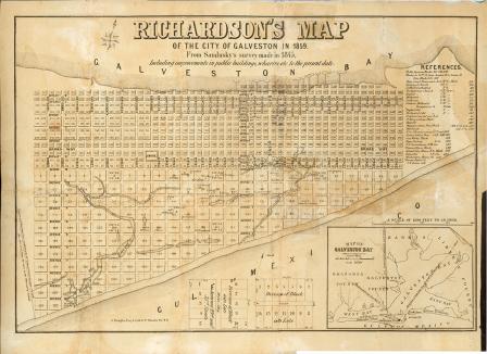
Richardson's Map of the City of Galveston in 1859
Texas State Highway Map Viewing
Plans of the Highway Department: Fred J. Wemple, Jr. and T. C. Jones
Map showing The Geographical location of Fort-Worth, Tex. and Rail-Roads
Aerial of West, Texas
Vicinity Map Showing Railroads
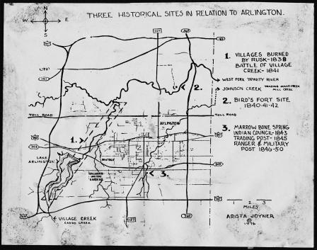
Map: Three Historical Sites in Relation to Arlington, 1976
Hand-drawn map of Eagle Flat, W. K. Gordon
A map of Edward L. Gage lands, Brewster and Buchel Counties
U. S. Coast Survey, A. D. Bache, Superintendent, Sketch
Aerial view of Fort Worth's Oakhurst subdivision
Charles A. Stewart, and Edwin T. Phillips Jr.
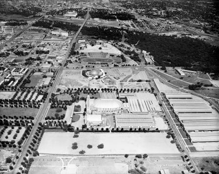
Aerial view of Texas Ranch and Farm Show Issue
Aerial view Southtown Shopping Center
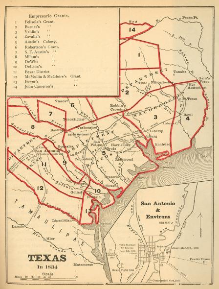
Texas in 1834
Old Surveys in Harrison County
Map of the cities of New Braunfels and Fredericksburg
United States Geological Survey topographical map of 1890
"Karte des Staates Texas"
Karte des Staates Texas (aufgenommen in die Union 1846) nach der neuesten Eintheilung 1849
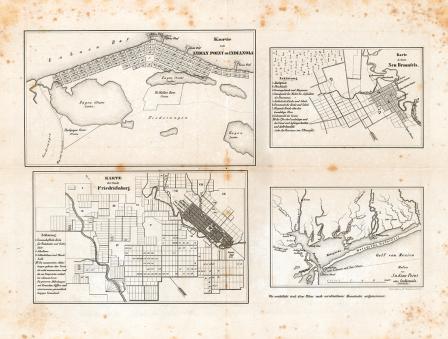
Map of the cities of Indianola, New Braunfels and Fredericksburg, Texas, ca. 1850
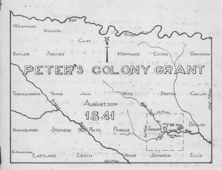
Peter's Colony Grant map, 1841, showing Texas counties
Water-Way officials and backers of the Trinity River program
Water-Way officials and backers of Trinity River program
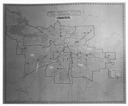
Map of Fort Worth, Texas (Commercial)
Map of Fort Worth, Texas
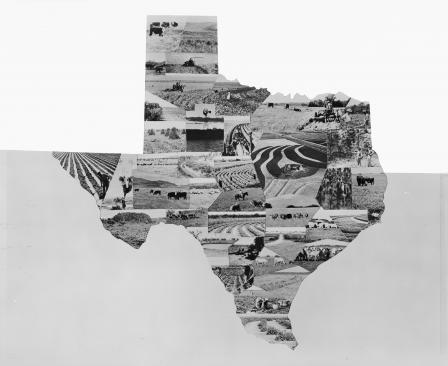
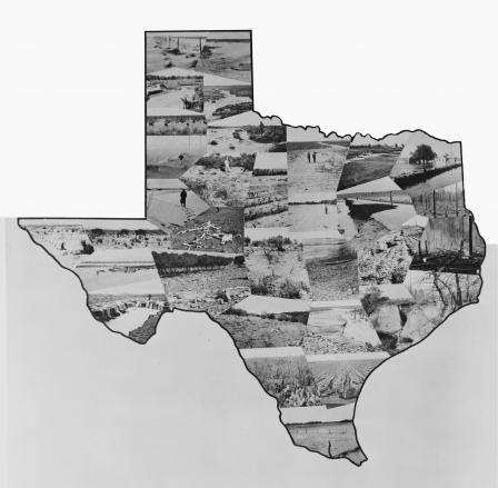
Soil erosion map of Texas
Soil erosion map of Texas
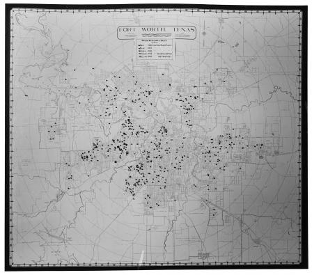
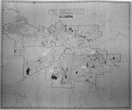
Map of Fort Worth, Texas (Residential)
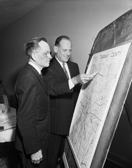
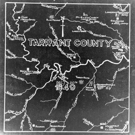
Tarrant County survey map
James Chester Dalgarn, engineer for the Texas State Park Board, inspects a relief map to be exhibited in an automobile show at Will Rogers Coliseum
Fort Worth Pilot Wind Up World Air Lines Survey
Map of the proposed boundaries of 1940 Fort Worth Metropolitian Area Census
National Housing Administration