Skip to main content
UTA Libraries
Digital Gallery
Browse
All Items
Categories
Collections
About
About
Acknowledgements
Contact Us
Sort by
Relevance
Relevance
Items per page
48
60
72
120
Clear
Search
Browse
All Items
Categories
Collections
About
Home
Architecture, Art and Culture
Category: Cartography - Maps and Atlases
Category: Cartography - Maps and Atlases
1-24 of 24 results found
(-)
Remove Architecture, Art and Culture Category filter
Architecture, Art and Culture Category
Sort by
Year Asc
Year Asc
Year Desc
Per page:
48
60
72
120
Apply
UTA Library Special Collections
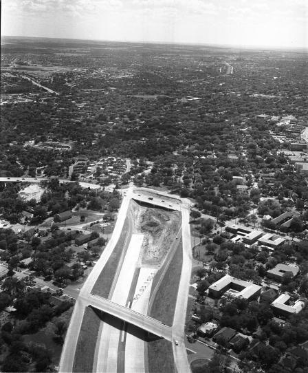
An aerial of the end of freeway construction of the R. L. Thornton and Stemmons expressways, Dallas, Texas
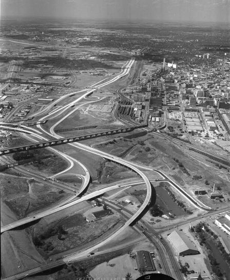
An aerial of the mixmaster at R. L. Thornton and Stemmons expressways, Dallas, Texas
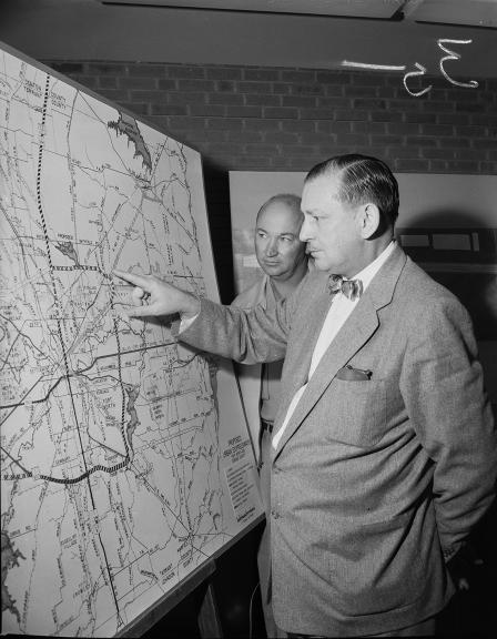
Highway Improvements
Miss Bettye Padon
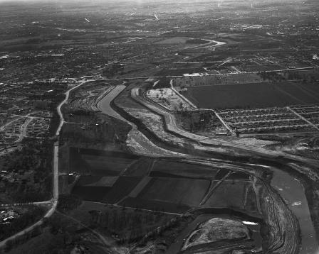
Fort Worth City River project
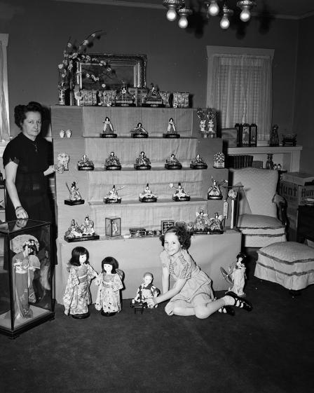
Japanese "Girl's Festival"
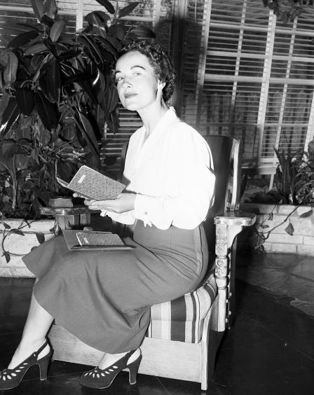
Mrs. Freeman Alexander
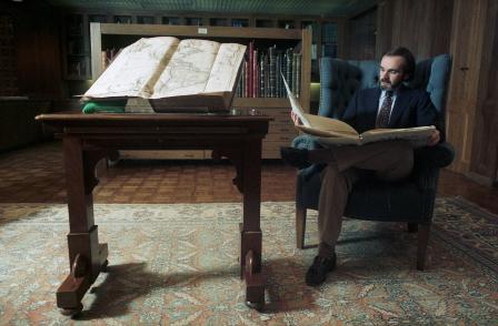
Henry Flak and Larry Hanks with book
Ernest F. Schumacher with his daughter, Miss Joyce Schumacher
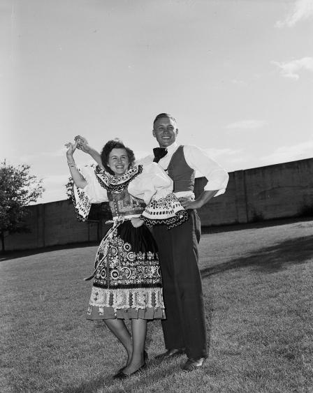
Miss Carolyn Caufal and Frank Klinkovsky
Charles Markwick, and Karl E. Ponath shown in Amon Carter's office
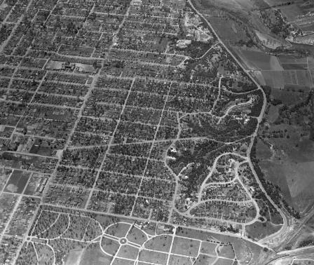
Aerial view of Fort Worth, Texas, Districts - Oakhurst neighborhood
Proposed transatlantic routes for American Airlines
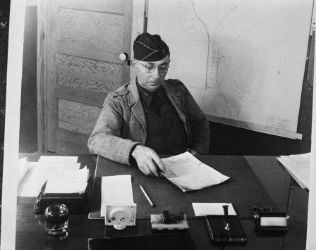
Camp Wolters, Texas
Texas Christian University Football
Camp Wolters, Texas
Aerial view of Fort Worth's Oakhurst subdivision
Map of the proposed boundaries of 1940 Fort Worth Metropolitian Area Census
James Chester Dalgarn, engineer for the Texas State Park Board, inspects a relief map to be exhibited in an automobile show at Will Rogers Coliseum
"Brazos Boat Song" Sheet Music
From Bulletin of Grubbs Vocational College interior spread showing map of campus "Campus Plans"
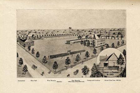
Carlisle Military Academy Tenth Annual Announcement drawing of campus in 1901
World map by cartographer Johann Baptist Homann, 1712