Skip to main content
UTA Libraries
Digital Gallery
Browse
All Items
Categories
Collections
About
About
Acknowledgements
Contact Us
Sort by
Relevance
Relevance
Items per page
48
60
72
120
Clear
Search
Browse
All Items
Categories
Collections
About
Home
1870s
Category: Cartography - Maps and Atlases
Category: Cartography - Maps and Atlases
1-6 of 6 results found
(-)
Remove 1870s Coverage filter
1870s Coverage
Sort by
Year Asc
Year Asc
Year Desc
Per page:
48
60
72
120
Apply
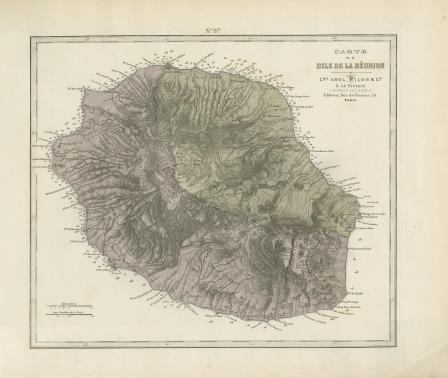
Carte de L'Ile de la Reunion
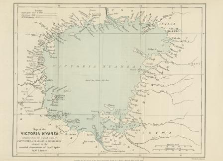
Map of the Victoria N’Yanza compiled from the original maps of Captain Speke, Colonel Grant & Mr. Stanley adapted to the recorded observations of Captain Speke by W. J. Turner
Africa, with the discoveries to May 1858 of Livingstone, Barth, Vogel, & of the Chadda Expedition from Documents in possession of the Royal Geographical Society
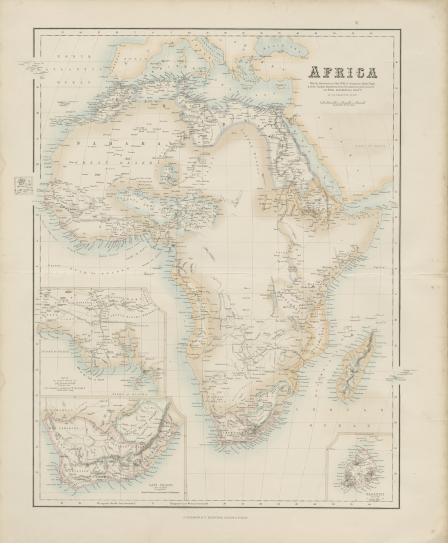
Carte Physique et Politique de L'Afrique
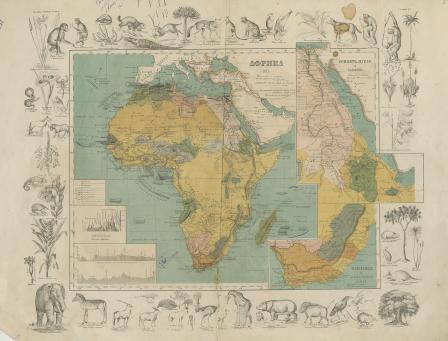
Afrika [Russian]
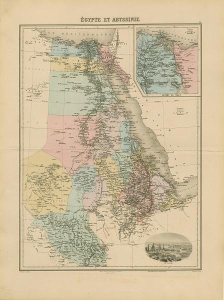
Égypte et Abyssinie