Longitude: -94.664951000000
- Gonzales
Three Cherokees are killed in Cherokee territory, roughly thirty miles north of Nacogdoches, possibly by Anglo-American surveyors.
Mosley Baker and F. W. Johnson, “Report of Messrs. Baker and Johnson to the Chairman of the General Council of Texas,” Telegraph and Texas Register, November 7, 1835.
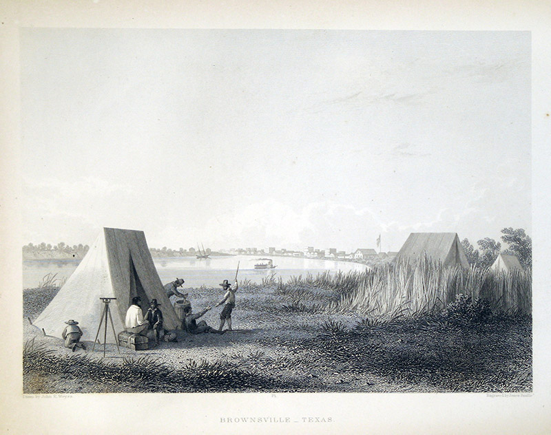 Surveyors
 Original Title: Brownsville, Texas
Image Type: Steel engraving on paper
Creator: James D. Smillie after John E. Weyss
Collection: The University of Texas at Arlington Libraries, Special Collections
Image Citation:
Emory, William H., Report of the United States Mexican Boundary Survey, Made under the Direction of the Secretary of the Interior, 34th Congress, 1st Session, House Exec. Doc. No. 135 (3 vols.; Washington, D.C.: Cornelius Wendell, 1857), vol. 1, part 1, opp. p. 60.
Longitude: -94.664951000000
- Gonzales
Three Cherokees are killed in Cherokee territory, roughly thirty miles north of Nacogdoches, possibly by Anglo-American surveyors.
- Cherokees
Mosley Baker and F. W. Johnson, “Report of Messrs. Baker and Johnson to the Chairman of the General Council of Texas,” Telegraph and Texas Register, November 7, 1835.
Surveyors Original Title: Brownsville, Texas
Image Type: Steel engraving on paper
Creator: James D. Smillie after John E. Weyss
Collection: The University of Texas at Arlington Libraries, Special Collections
Image Citation:
Emory, William H., Report of the United States Mexican Boundary Survey, Made under the Direction of the Secretary of the Interior, 34th Congress, 1st Session, House Exec. Doc. No. 135 (3 vols.; Washington, D.C.: Cornelius Wendell, 1857), vol. 1, part 1, opp. p. 60.