Skip to main content
UTA Libraries
Digital Gallery
Browse
All Items
Categories
Collections
About
About
Acknowledgements
Contact Us
Sort by
Relevance
Relevance
Items per page
48
60
72
120
Clear
Search
Browse
All Items
Categories
Collections
About
Home
Medicine, Nature, Science and Technology
Subject: Aerial views
Subject: Aerial views
1-48 of 57 results found
(-)
Remove Medicine, Nature, Science and Technology Category filter
Medicine, Nature, Science and Technology Category
Sort by
Year Asc
Year Asc
Year Desc
Per page:
48
60
72
120
Apply
Old Parkland Hospital,aerial view
An aerial view of Crater of Diamonds, Murfreesboro, Arkansas
An aerial view of Crater of Diamonds, Murfreesboro, Arkansas
An aerial view of Crater of Diamonds, Murfreesboro, Arkansas
An aerial view of Crater of Diamonds, Murfreesboro, Arkansas
An aerial view of Crater of Diamonds, Murfreesboro, Arkansas
An aerial view of Crater of Diamonds, Murfreesboro, Arkansas
An aerial view of Crater of Diamonds, Murfreesboro, Arkansas
An aerial view of Crater of Diamonds, Murfreesboro, Arkansas
An aerial view of Crater of Diamonds, Murfreesboro, Arkansas
An aerial view of Crater of Diamonds, Murfreesboro, Arkansas
An aerial view of Crater of Diamonds, Murfreesboro, Arkansas
An aerial view of Crater of Diamonds, Murfreesboro, Arkansas
Fort Worth Air views
Fort WorthSh. Aerial view. Shot of new channel that connects with branch of the Trinity River's West Fork to transport water from Eagle Mountain Lake into the upper part of Lake Worth
Aerial view of Amon Carter Field at the Greater Fort Worth International Airport during dedication ceremonies
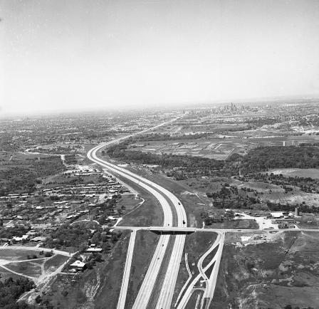
Air view of Fort Worth East-West Expressway and T&P tracks
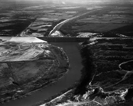
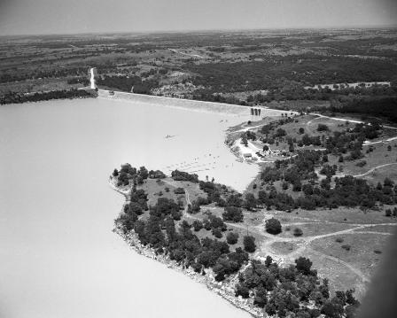
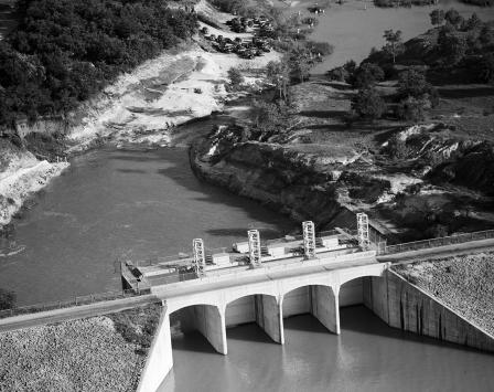
Whitney Dam aerial view
Lake Bridgeport Dam
Lake Bridgeport Dam
Benbrook Dam
Lake Worth Fish Hatchery
Fort Worth Boat Works
Colonial Course
Fort Worth Boat Works
Top View
Eagle Mountain Lake
Grapevine Dam
Lake Dam
Aerial view of Parkland Hospital
Grapevine Dam
Whitney Dam
Whitney Dam
Whitney Dam
Lockheed R6V Constitution at Dallas Love Field, Dallas, Texas
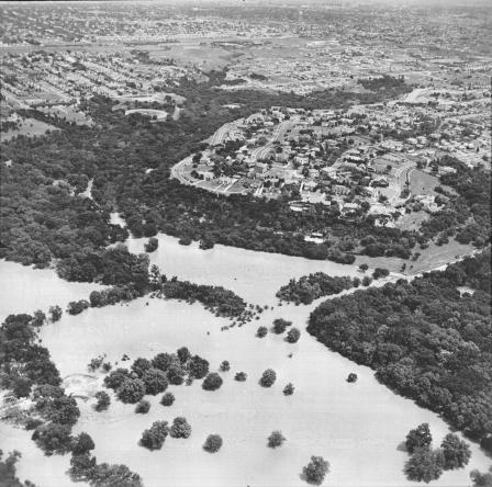
Fort Worth flood of 1949
An aerial of flooded neighborhoods
Aerial view of flooded area, south view of junction of Brazos River and Clear Fork of Brazos one mile northeast of Southbend
Aerial view of flooded area slightly southwest over Southbend and up Clear Fork of Brazos
Aerial view of flooded area at Possum Kingdom Dam when the water was 119 ft. deep
Aerial view of flooded area looking west over Possum Kingdom Dam State Park Area
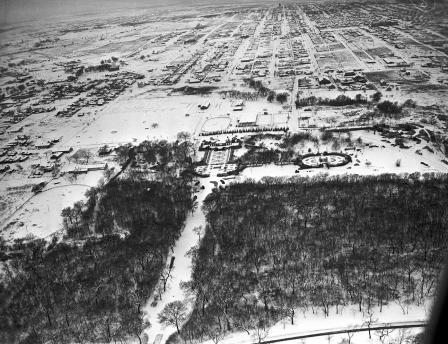
Air view of the Rose Garden and the Botanic Garden under a blanket of snow
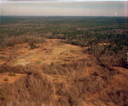
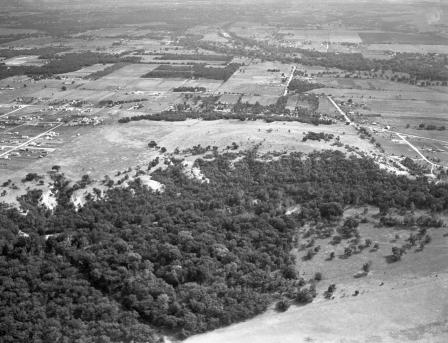
Aerial shot of land belonging to Mr. Amon Carter
Aerial shot of land belonging to Amon Carter
Aerial shot of land belonging to Amon Carter
Aerial shot of land belonging to Amon Carter
Aerial shot of land belonging to Amon Carter
Aerial shot of land belonging to Amon Carter
1
2
next ›