Skip to main content
UTA Libraries
Digital Gallery
Browse
All Items
Categories
Collections
About
About
Acknowledgements
Contact Us
Sort by
Relevance
Relevance
Items per page
48
60
72
120
Clear
Search
Browse
All Items
Categories
Collections
About
Home
Maps
Category: Cartography - Maps and Atlases
Category: Cartography - Maps and Atlases
97-144 of 302 results found
(-)
Remove Maps Subject Term filter
Maps Subject Term
Sort by
Year Asc
Year Asc
Year Desc
Per page:
48
60
72
120
Apply
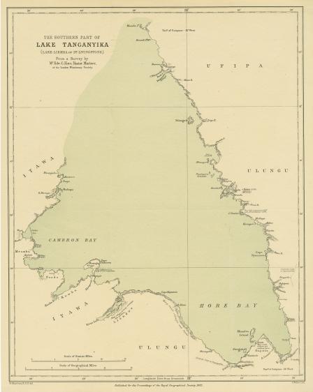
The Southern Part of Lake Tanganyika (Lake Liemba of Dr. Livingstone) From a Survey by Mr. Edw. C. Hore, Master Mariner of the London Missionary Society
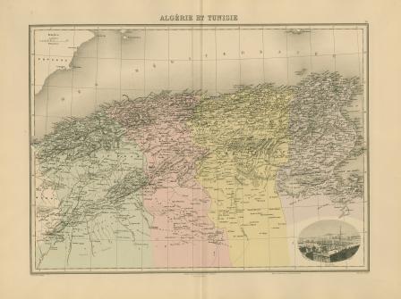
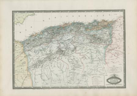
Algérie et Tunisie
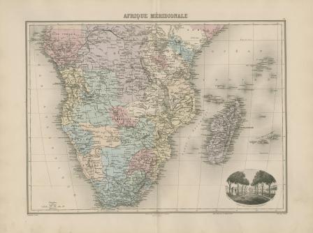
Afrique Méridionale
Septentrionale
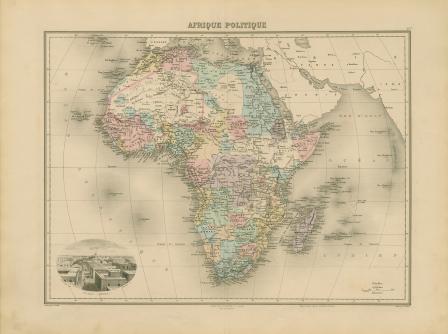
Afrique politique
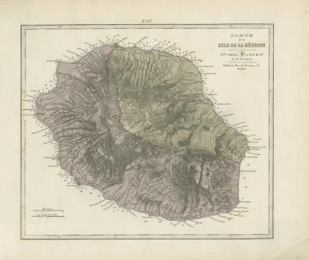
Carte de L'Ile de la Reunion
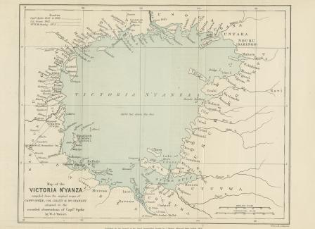
Map of the Victoria N’Yanza compiled from the original maps of Captain Speke, Colonel Grant & Mr. Stanley adapted to the recorded observations of Captain Speke by W. J. Turner
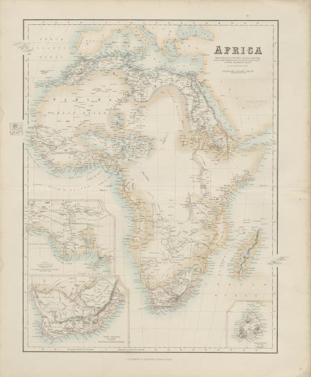
Africa, with the discoveries to May 1858 of Livingstone, Barth, Vogel, & of the Chadda Expedition from Documents in possession of the Royal Geographical Society
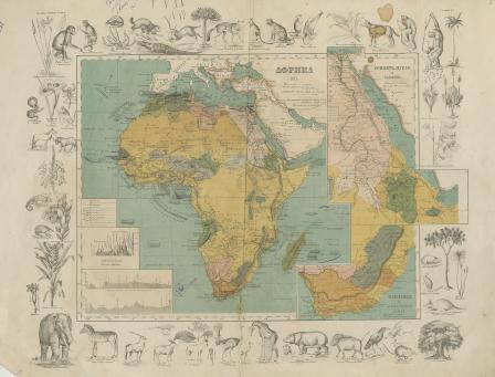
Carte Physique et Politique de L'Afrique
Afrika [Russian]
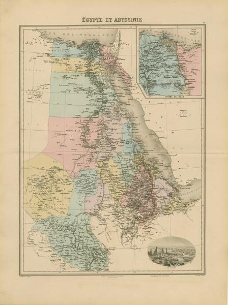
Égypte et Abyssinie
Africa
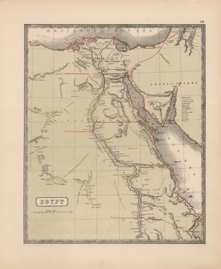
Egypt
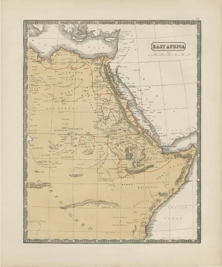
East Africa
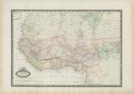
West Africa
Afrique Francaise
Afrique Occidentale et Centrale, le Sahara, le. Takrour, la Senegambie, l'Ouankarah, et les lies du Cap Vert
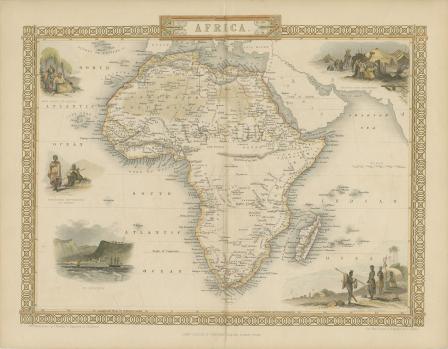
L'afrique suivant les connaissances géographiques actuelles
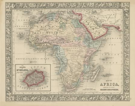
Map of Africa Showing its most Recent Discoveries
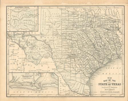
Map of Texas, 1859
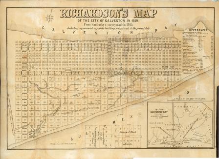
Richardson's Map of the City of Galveston in 1859
Map of Texas, 1858
Map of Texas, 1858 (black and white)
U. S. Coast Survey, A. D. Bache, Superintendent, Sketch
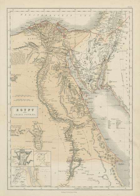
Egypt and Arabia Petraea
Africa
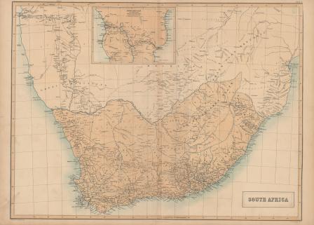
South Africa
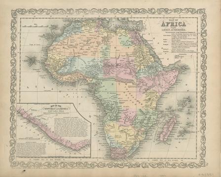
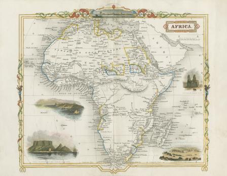
Map of Africa from the Latest Authorities
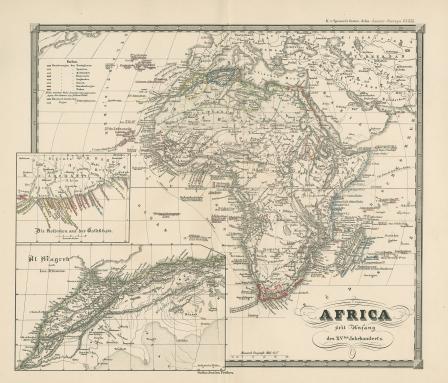
Africa seit Anfang des XVten Jahrhundert's
Argelia y Provincias Berberiscas
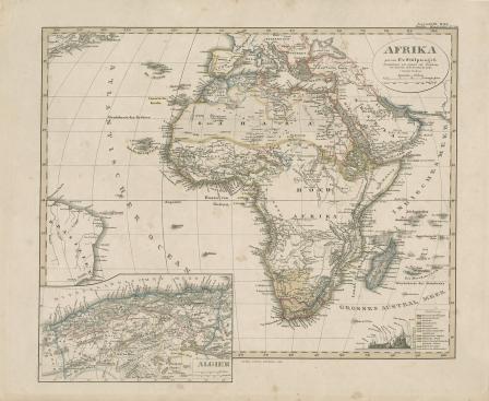
Afrika. von F. v. Stulpnagel
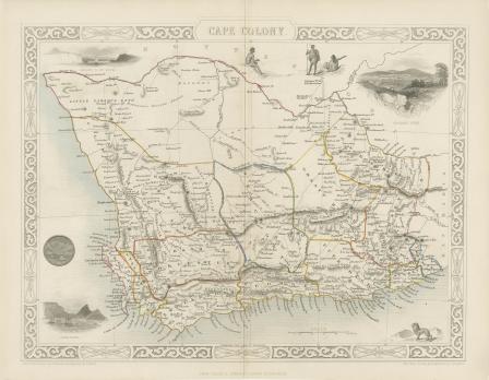
Cape Colony
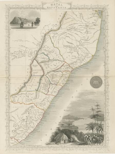
Natal and Kaffraria
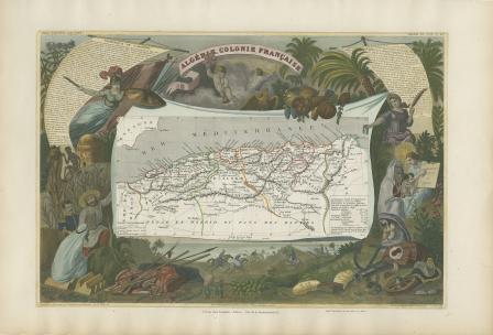
Algérie. Colonie Française.
Australia, from Surveys Made by Order of the British Government Combined with Those of D'entrecasteaux, Baudin, Freycinet &c.&c.
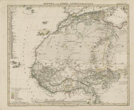
Mittel und Nord Afrika
Africa
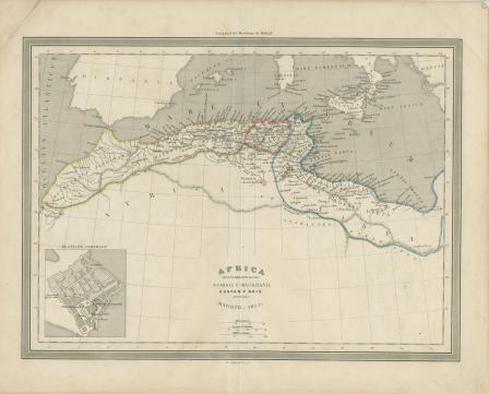
Africa propriamente dicha Numidia y Mauritania
Africa
"Karte des Staates Texas"
Africa
Map of Hindoostan
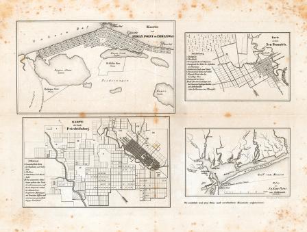
Map of the cities of Indianola, New Braunfels and Fredericksburg, Texas, ca. 1850
Map of the cities of New Braunfels and Fredericksburg
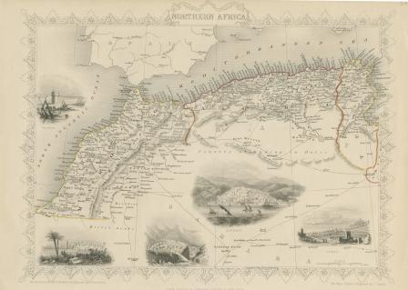
Northern Africa
Western Africa
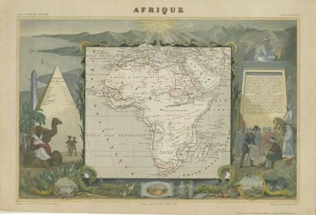
Afrique
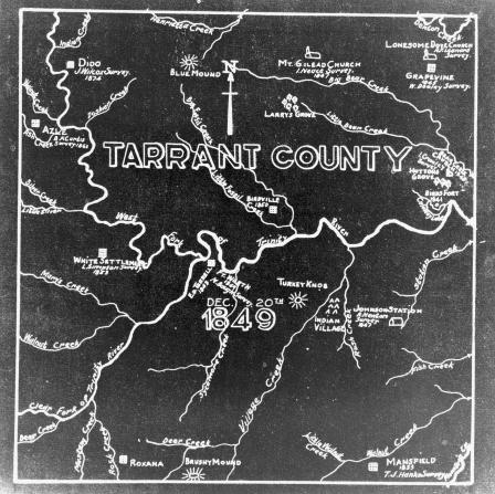
Tarrant County survey map
‹ previous
1
2
3
4
5
…
next ›


![West Africa [map of Africa]](https://library.uta.edu/digitalgallery/sites/library.uta.edu.digitalgallery/files/styles/maxthumbnail/public/20080000-20089999/20086373.jpg?itok=7gcGhoDl)
![L'afrique suivant les connaissances géographiques actuelles [map of Africa]](https://library.uta.edu/digitalgallery/sites/library.uta.edu.digitalgallery/files/styles/maxthumbnail/public/20080000-20089999/20086434.jpg?itok=gIKeF47y)


![Africa [map of Africa]](https://library.uta.edu/digitalgallery/sites/library.uta.edu.digitalgallery/files/styles/maxthumbnail/public/20080000-20089999/20086267.jpg?itok=dgdYad5m)