Skip to main content
UTA Libraries
Digital Gallery
Browse
All Items
Categories
Collections
About
About
Acknowledgements
Contact Us
Sort by
Relevance
Relevance
Items per page
48
60
72
120
Clear
Search
Browse
All Items
Categories
Collections
About
Home
Maps
Category: Cartography - Maps and Atlases
Category: Cartography - Maps and Atlases
1-48 of 302 results found
(-)
Remove Maps Subject Term filter
Maps Subject Term
Sort by
Year Desc
Year Asc
Year Desc
Per page:
48
60
72
120
Apply
An Indian Cacique
City map of Dallas, Texas
A map of Edward L. Gage lands, Brewster and Buchel Counties
Wallisville Reservoir sign [undated]
Ben Carpenter pointing to map
"La Riviere de Missisipi,"
John Farrer, A map of Virginia, 1651
Old Surveys in Harrison County
Woodcut map from 1511 from Peter Martyr's "Oceani Decas"
DeSoto, Mapa del Golfo y costa de la Nueve Espana, ca. 1544
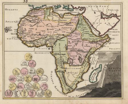
Africa
De Africae Regionibus
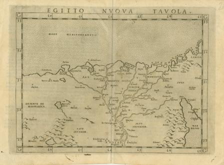
Egitto Nuova Tavola
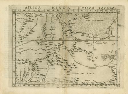
Africa Minor Nuova Tabula
Marmarica Nvova Tavola
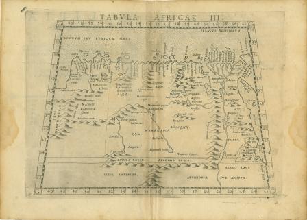
Tabula Africae III
Aegyptus
Bird's-eye view plan of Alexandria
Descripcion de las Yndias del Norte 2
John Smith's 1612 Map of Virginia
Barbaria
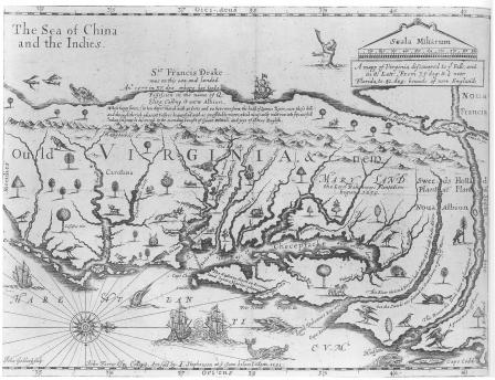
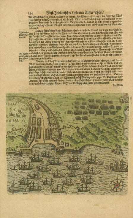
[Sir Francis Drake's Attack on Santiago, Cape Verde Islands]
Africae Tabula Nova
S. Lorenzo
Africae
Mauritana et Africa Propria nunc Barbaria
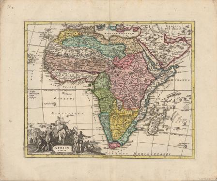
A General and Particular Description of Africa
"Les Costes aux Environs de la Riviere de Misisipi"
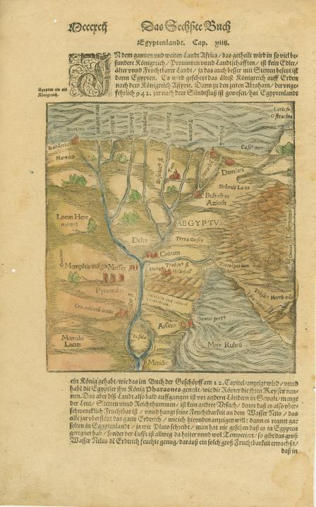
Egypten theilet sich...
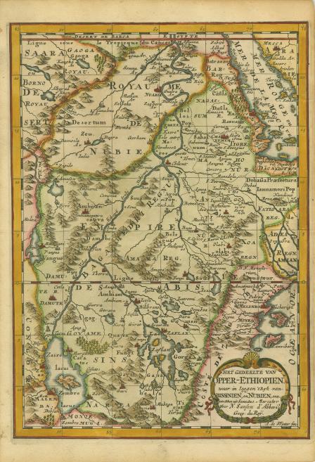
Het Gedeelte van Opper-Ethiopien. Waar in Leggen 't Ryk van Abissinien, en Nubien, enz. Getrokken uit Sanutus Mercator
'T Eilandt van Madagascar of van St. Laurens.
T Koninkryk van Congo, enz
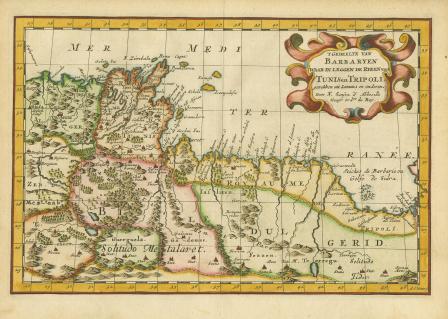
'T Gedeelte van Barbaryen waar in Leggen de Ryken van Tunis en Tripoli, Getrokken uit Sanutus en Anderen
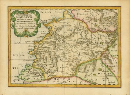
T Koninkryk van Marocco. Verdeelt in Zeven Landschappen, Enz…
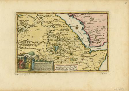
Opper-Ethiopien of 't Ryk der Abyssinen door de e. Vaders H. Lobo en M. Almeida bereyst, en met de Nyl en Roode Zee beschreven.
Mappa Geographica Exhibens Religionem Catholicam Alicubi Per Africam Sparsam
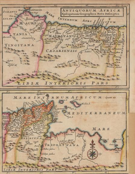
Antiquorum Africæ
A Map of the East Indies and the adjacent countries; with the Settlements, Factories and Territories, explaining what belongs to England, Spain, France, Holland, Denmark, Portugal &c.
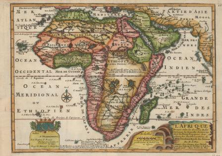
L'Afrique Dressee Selon les dernieres Relat...1717
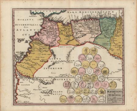
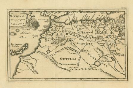
Mauretania et Numidia
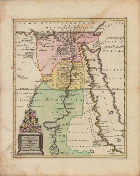
Aegyptus, antiqua in suas partes et nomos divisa, cum Troglodytice, Marmarica et Aethiopia supra Aegyptum curante Christophoro Weigelio. Norimb
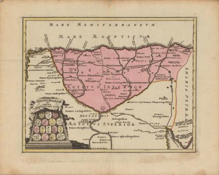
Aegyptus, inferior sive delta, curante Christophoro Weigelio. cum P. S. C. M.
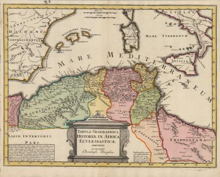
Tabula Geographica Historiae in Africa Ecclesiasticae
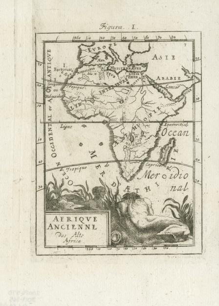
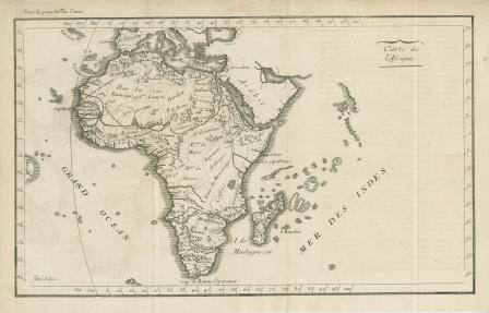
Afrique Ancienne
L'Afrique Dressee suivant les Auteurs les plu nouveau...1719
Africa vetus per Christophorum Weigelium Norimbergae cum privilegia sac. caes. Majestatis
Africa Tabula
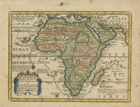
Carte De L’Africa
1
2
3
4
5
…
next ›


![Africa [map of Africa]](https://library.uta.edu/digitalgallery/sites/library.uta.edu.digitalgallery/files/styles/maxthumbnail/public/20080000-20089999/20086390a.jpg?itok=K6Owvqyq)
![De Africae Regionibus [map of Africa - Latin text]](https://library.uta.edu/digitalgallery/sites/library.uta.edu.digitalgallery/files/styles/maxthumbnail/public/20080000-20089999/20086392b.jpg?itok=Tu6Yr2Q7)
![Marmarica Nvova Tavola [map of Africa]](https://library.uta.edu/digitalgallery/sites/library.uta.edu.digitalgallery/files/styles/maxthumbnail/public/20080000-20089999/20086417b.jpg?itok=wBbH3rEd)


![Barbaria [map of Africa]](https://library.uta.edu/digitalgallery/sites/library.uta.edu.digitalgallery/files/styles/maxthumbnail/public/20080000-20089999/20086374a.jpg?itok=VjN3-OJj)
![Africae Tabula Nova [map of Africa]](https://library.uta.edu/digitalgallery/sites/library.uta.edu.digitalgallery/files/styles/maxthumbnail/public/20080000-20089999/20086397b.jpg?itok=BY0gIRdW)
![S. Lorenzo [map of Africa - Madagascar]](https://library.uta.edu/digitalgallery/sites/library.uta.edu.digitalgallery/files/styles/maxthumbnail/public/20080000-20089999/20086405a.jpg?itok=sR49GFRv)
![Africae [map of Africa]](https://library.uta.edu/digitalgallery/sites/library.uta.edu.digitalgallery/files/styles/maxthumbnail/public/20080000-20089999/20086399.jpg?itok=VIA9xuG4)
![A general and particular description of Africa [map of Africa]](https://library.uta.edu/digitalgallery/sites/library.uta.edu.digitalgallery/files/styles/maxthumbnail/public/20080000-20089999/20086381a.jpg?itok=tF2vyBpz)

![Egypten theilet sich [map of Africa]](https://library.uta.edu/digitalgallery/sites/library.uta.edu.digitalgallery/files/styles/maxthumbnail/public/20080000-20089999/20086387.jpg?itok=TTqgXiUS)